
Many Chattanoogans and Civil War enthusiasts are familiar with the 19th-century Brown’s Ferry that was located on the Tennessee River. Named for its mixed-blood Cherokee owner, John Brown, the ferry was located in Hamilton County below Ross’s Landing. Brown’s Ferry may be best known for an 1863 battle which helped break the Confederate siege against Union forces in Chattanooga. Brown’s Ferry is also a documented site on the Trail of Tears. However, few people are aware that Brown established a second ferry on the Tennessee River which also played roles in the Civil War and the Cherokee Removal. Where was this ferry?
In 1822, while living on Moccasin Bend, John Brown and fellow Cherokee citizen Nathan Hicks petitioned the Cherokee National Committee for permission to establish a ferry on the Tennessee River. Signed by Cherokee leaders, including president of the committee, John Ross, authorization was granted “to open & cut out a road from Dohertys thro’ the gap to Tennessee River below the Suck & to establish a ferry below on said River.”
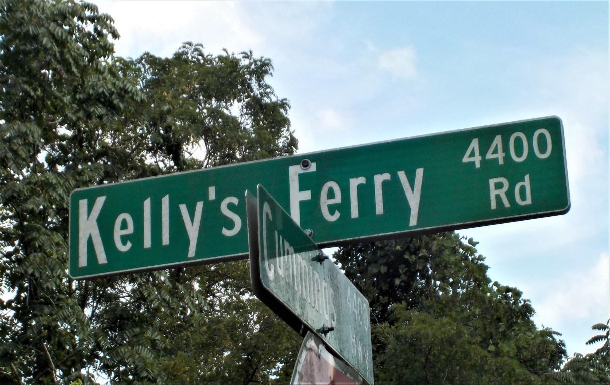
William Doherty lived on Lookout Creek a few miles east of the new ferry, while the infamous whirlpool called the Suck was located 10 miles upstream of the ferry. This new road and ferry intersected with a road on the north side of the river chartered by the state of Tennessee to John Kelly and “others.” As a result of an 1819 treaty, Cherokee lands on the north side of the Tennessee River in Marion and Hamilton Counties were opened to white settlement, while the south side remained Cherokee land. The agreement stated Kelly and Brown would maintain the ferry jointly using one boat. This agreement between a Cherokee and a white man apparently worked well while it lasted.
Over the next 14 years, Brown made improvements on his side of the ferry but claimed he was cheated out of the value of his improvements when his ferryman, a white man named Benjamin Allison, sold 40 acres of Brown’s land to a man named Philip Inlow, who had married a Cherokee woman. Allison also sold Brown’s ferry permit to his brother, William Allison. When agents evaluated Cherokee holdings in 1836 in anticipation of the tribe’s removal, Brown was not granted credit for these properties. In 1837, Brown petitioned the Cherokee National Committee to ask the valuations commissioners to recognize his ownership. It is unknown if Brown ever recovered money for these claims. At the time of these valuations, Brown lived one mile south of his better-known Brown’s Ferry on what is today called Brown’s Ferry Road.
In 1838, two detachments of Cherokees crossed the river from Moccasin Bend and traveled past his residence on Brown’s Ferry Road to Wauhatchie Pike. They turned south on Wauhatchie, then took Brown’s 1822 road, later known as Kelly’s Ferry Road, west to the Brown-Kelly ferry, where they crossed the Tennessee River again and continued their journey on the Trail of Tears.