
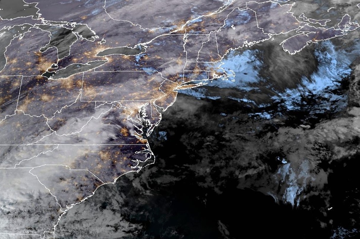
PORTLAND, Maine (AP) — The U.S. East Coast was beginning a whiplash-inducing stretch of weather on Wednesday that was rainy, windy and potentially dangerous, due in part to an atmospheric river and developing bomb cyclone.
Places like western Maine could see freezing rain, downpours, unseasonably high temperatures and damaging winds — all in the span of a day, said Derek Schroeter, a forecaster with the National Weather Service.
The heavy rain and fierce winds will last until Wednesday night in many areas, and flooding is possible in some locales, forecasters said. Utilities were also gearing up for potential power outages from damage caused by winds that could exceed 60 mph (97 kph) in some areas.
One of the key factors driving the weather is an atmospheric river, which is a long band of water vapor that can transport moisture from the tropics to more northern areas, said Schroeter, who’s based in Gray, Maine.
The storm has the ability to hit New England hard because it could tap moisture from the Atlantic Ocean off the coast of the U.S. Southeast, and transport it to places like Maine. The state was preparing for a “multifaceted storm” that could bring two to three inches of rainfall in some areas, Schroeter said.