
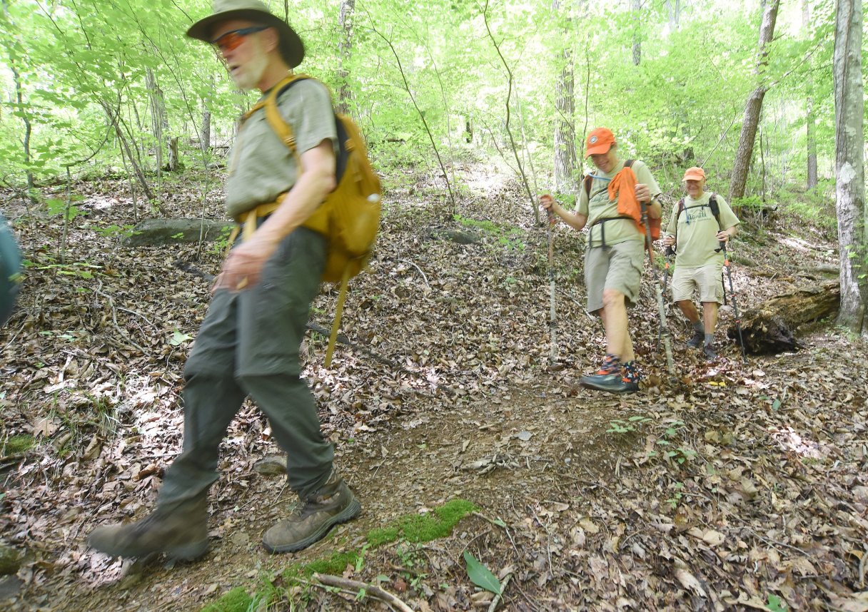

Conservationists and supporters of Southern Appalachia’s Benton MacKaye Trail hope the third time’s a charm for a bipartisan congressional bill seeking a designation for the footpath as the 12th National Scenic Trail in the U.S.
If signed into law, the Benton MacKaye National Scenic Trail Feasibility Study Act of 2025 would direct the U.S. Forest Service to advance the process for formally designating the footpath as a National Scenic Trail.
Legislation to study the feasibility of the almost-300-mile-long trail becoming a National Scenic Trail was reintroduced in Congress by U.S. House Reps. Chuck Fleischmann, R-Ooltewah, Steve Cohen, D-Memphis, Chuck Edwards, R-N.C., and Lucy McBath, D-Ga.; and U.S. Sens. Ted Budd and Thom Tillis, both North Carolina Republicans, and Raphael Warnock, a Democrat from Georgia. Tillis is a former Chattanooga resident.
It’s worth celebrating, according to members of the Cherry Log, Georgia-based Benton MacKaye Trail Association.
“We’ve been working hard to get that feasibility bill in front of the members of the House and Senate,” association President Bob Cowdrick said in a phone interview. “We’re very excited about it. It’s a feasibility bill, which will then enable the Forest Service, ourselves and others involved to analyze the trail for a potential status as a National Scenic Trail.”
(READ MORE: Storms do widespread damage on Benton MacKaye Trail in Tennessee and Georgia)
The first bill in 2022 sought the national designation directly, but the past two attempts have been bills seeking a feasibility study, Cowdrick said.
“It’s absolutely the right first step to go forward,” he said.
Association members and trail fans call it simply the “BMT.”
HISTORY
Association founding member Dave Sherman first conceived the idea for the trail in 1975 and was intrigued by conservationist, regional planner and forester Benton MacKaye’s proposed spur trails that would extend the Appalachian Trail further to the south, according to association historical accounts. Sherman eventually proposed a new trail, started in 1980 and completed in 2005, that would follow the high ridge running south along the Tennessee-North Carolina border between the Smoky Mountains and the Cohutta Mountains in Northwest Georgia.
From the southern end, the trail winds its way through Georgia, Tennessee and North Carolina, passing through the Chattahoochee-Oconee, the Cherokee and the Nantahala national forests and crossing six federal wilderness areas, according to the association. The route includes 93 miles in the Great Smoky Mountains National Park, making it the longest trail in the most-visited national park in the U.S.
The U.S. Forest Service and the National Park Service manage 95% of the land the trail calls home, according to the association. About 15 miles of the trails remain on public roads or private land. New land acquisition will be limited and will be on a willing-seller basis.
MacKaye (1879-1975), the trail’s namesake, was known for his advocacy for the Appalachian Trail and conservation of nature’s wildest places, according to association officials. The route today closely resembles MacKaye’s proposed southern spur that extended the Appalachian Trail into North-Central Georgia.
ROUTE
The Benton MacKaye Trail and the Appalachian Trail start on the southern end at the same point on Springer Mountain in Georgia. The two trails overlap at first, intersecting four times in the first 7 miles before going their separate ways at Long Creek Falls, according to officials. Those segments are good choices for day hikes.
From Long Creek Falls, the trail heads north to cross the Toccoa River on the iconic swinging bridge in Fannin County, Georgia, before sweeping west to traverse a number of summits ranging from 2,500 to 3,500 feet in elevation, passing Fall Branch Falls through the Cohutta Wilderness Area and Big Frog Wilderness Area, according to association trail descriptions.
The trail crosses into Tennessee at the remote Double Spring Gap in Polk County, Tennessee, followed by crossings over the Ocoee and Hiwassee rivers. The trail then ascends to the boundary ridge between Tennessee and North Carolina near Sandy Gap, where hikers get 360-degree vistas of the surrounding landscape.
The two trails then take different paths for 180 miles before meeting up again near Fontana Dam and entering the Great Smoky Mountains National Park, sticking close to Fontana Lake. From there, the trail climbs to its highest point at the top of Mount Sterling — 5,842 feet — then descends to Big Creek in North Carolina, the trail’s remote northern terminus about 5 miles south of Interstate 40.
Work to build the trail started alongside the birth of its namesake association in 1980, according to the association’s historical accounts.
Key factors are the trail’s long existence and its support from the association, Cowdrick said. The association devoted to the trail’s creation and ongoing maintenance is 45 years old, and its members adopt portions of the trail to survey and take care of.
“When they need help, they call for the bigger group to come help them,” Cowdrick said. “The benefit is that this trail already exists.”
That’s an advantage over other groups seeking the same designation for trails being planned.
“That’s why it could potentially move through Congress,” Cowdrick said. “The dedicated trail already exists, people supporting it, people maintaining it and a strong membership.”
The association is 800 members strong, growing and active, he said.
“They’ll go out and survey the trail three, four, five times a year, and when they see that there’s a problem with it, they’ll call for a maintenance work trip, which is typically the second and the fourth Saturdays of the month,” Cowdrick said. “So that means it’s not really a burden upon our land partners, such as the Forest Service, such as the National Park Service.”
The National Scenic Trail designation will generate more visitors and more economic impact for the communities along the way, he said, noting the long, wild trail is popular with “thru-hikers,” people who hike trails from beginning to end, usually in a single season.
“We have a lot of thru-hikers that hike the trail, and we have a number of them doing it right now,” he said. “They’ll stop in the towns like Copperhill, (Tennessee), or Ducktown, (Tennessee), and they’ll spend the night, and they’ll get resupplied, and they’ll eat dinner and breakfast, that type of thing.”
LONG HIKE AHEAD
The path to a National Scenic Trail can be lengthy, according to the park service.
First, an amendment to the National Trails System Act must be passed requesting a feasibility study. Second, the feasibility study must be conducted, the park service states in a description of the steps. Third, if the feasibility study recommends the trail be established, an act must be introduced seeking to add the trail to the National Trails System. Finally, once the trail is established, a comprehensive management and use plan that outlines the roles of the federal government and its partners must be created.
“Altogether, this process has taken anywhere from six to 15 years,” the park service states. “Because of this dialogue back and forth between Congress and the administrative agency over many years, a trail is most likely to succeed in this process if there is a strong, well-organized, citizen-based organization at work on behalf of the trail.”
Contact Ben Benton at bbenton@timesfreepress.com or 423-757-6569.