
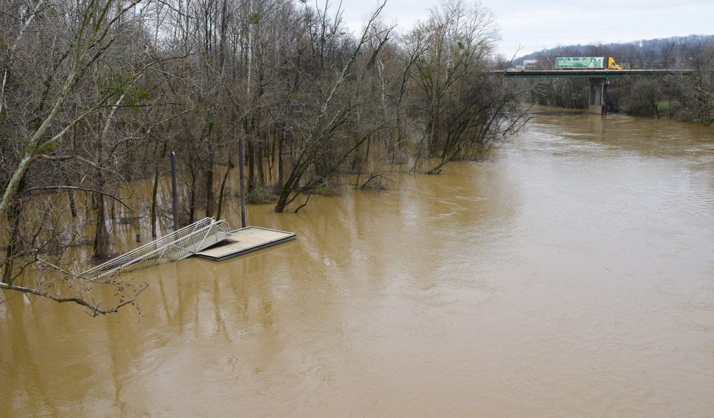

Consecutive storm systems that dumped rain on the Chattanooga region over the past several days arrived during Severe Weather Awareness Week.
During the 48 hours from Feb. 21-23, Hamilton County got between 3.15 and 4.36 inches of rain, while nearby communities like Cleveland, Jasper and Pikeville all got at least 3.5 inches, according to the National Weather Service in Morristown, Tennessee.
“We’ve had a number of systems moving through,” weather service meteorologist Jeanie McDermott said Thursday in a telephone interview.
“There was the one mid-week, and we had generally had 2-3 inches of rain areawide, and that caused a lot of flooding issues areawide and in Chattanooga as well,” she said.
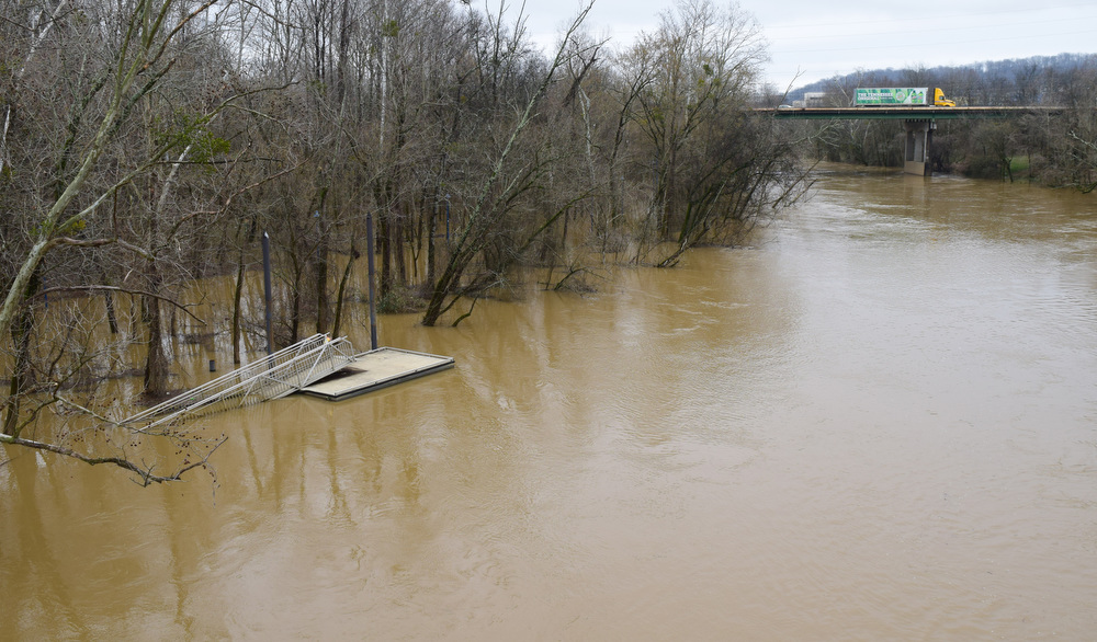
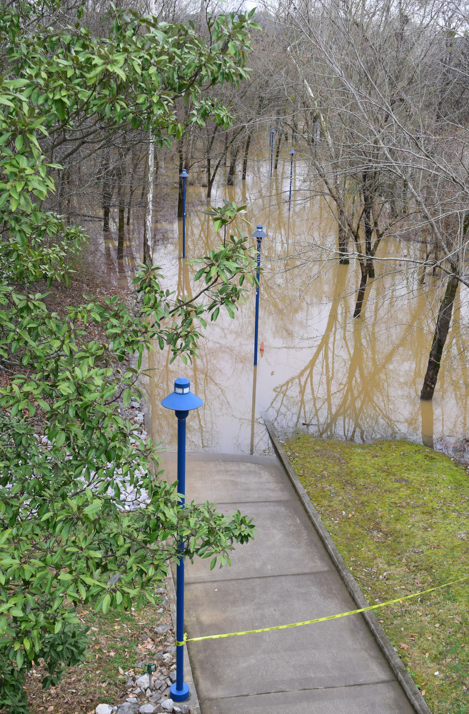
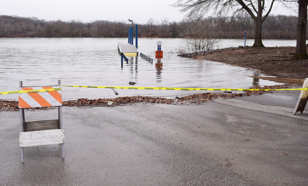
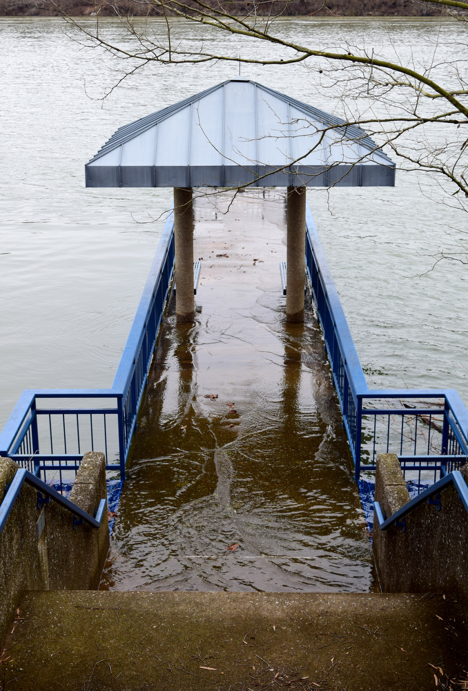
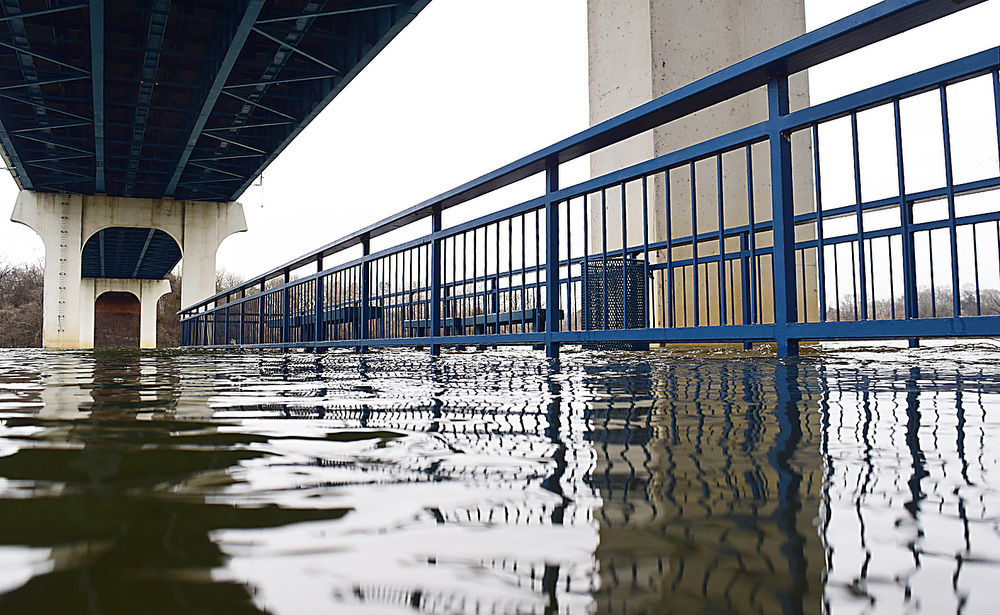
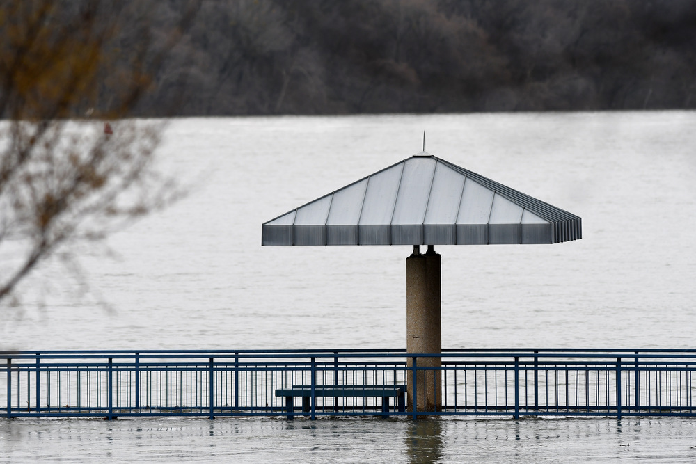
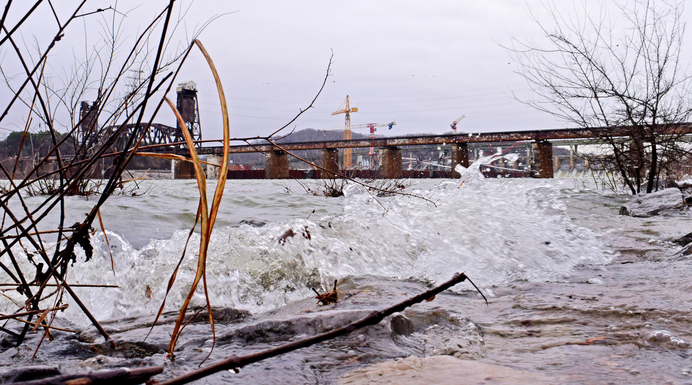
The deluge this week triggered a partial collapse and shutdown on Roberts Mill Road, widespread road closures and the closure of the Tennessee Riverpark’s boat ramps and fishing piers as well as several rescues when cars got stranded on flooded roads, according to local officials. Repairs to Roberts Mill Road could take eight weeks, with crews expected to start the work Monday.
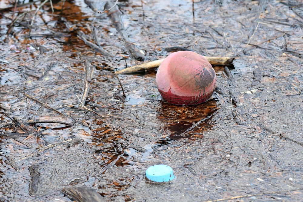
When the sky cleared Wednesday afternoon, runoff could be seen across the region coming from hillsides, yards, farmland and parking lots, flowing like small creeks. Debris could be seen Wednesday floating all over Harrison Bay as the Tennessee River’s tributaries filled Chickamauga Lake.
Thursday’s weather system, a warm front, stayed mostly near the Tennessee-Kentucky line, leaving the Chattanooga area to dry out a bit, McDermott said, but heavy rains were expected going into Friday morning as a cold front passed through, and that won’t help river and lake levels as another round of rain soaked the region.
Friday, the rain will be moving out by noon, she said, but there’s a chance of rain Saturday and Sunday, then next week will be dry.
“We’re getting into springtime, and that’s a popular time for flooding for us,” she said. “But I don’t see anything in the next week or so that we really have to worry about as far as severe storms go.”
The Tennessee Valley as a whole, as its namesake river winds from the mountains of East Tennessee and Western North Carolina through Alabama and then north to the Ohio River, had loads of rain over the past week, as well, according to the Tennessee Valley Authority.
Rainfall over the 48 hours leading up to Thursday afternoon was “extremely varied,” TVA spokesperson Travis Brickey said in an email. “At the low end, we’ve had around an inch in the North Carolina/Georgia mountains, 2-5 [inches] for most parts of the valley, and some isolated high spots of 7 inches.”
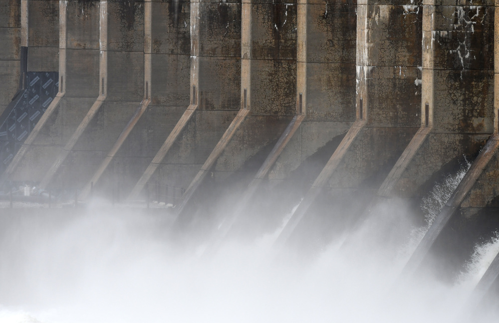
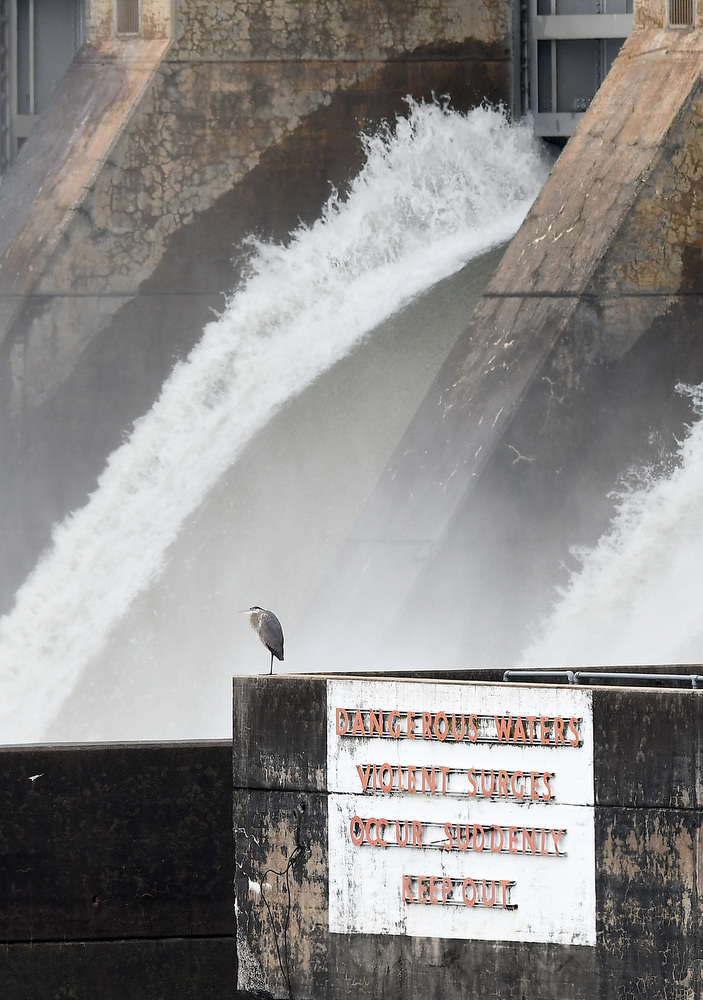
Brickey said the rainfall in the past seven days in the Tennessee Valley as of Thursday was about 370% of normal, and TVA’s controlling the flow with all nine dams on the Tennessee River spilling water.
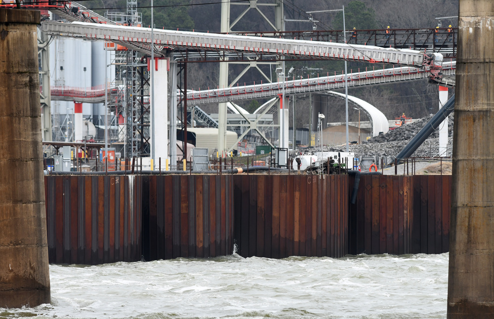
“We are storing large volumes of water in the tributary system, lakes like Norris will rise about 11-12 feet above normal winter pool as we store water,” Brickey said. “Dams are all spilling from Fort Loudoun through Kentucky, and we have increased flows along the lower river today to manage large flows through the system.”
Kentucky Dam – the last on the Tennessee River before it reaches the Ohio River – on Thursday was releasing 1.5 million gallons per second, according to TVA.
Rainfall across the Tennessee Valley in 2021 was well above normal, as were the previous four years.
In another weather note for this week, Wednesday marked the third anniversary of the mudslide on Feb. 23, 2019, caused by heavy rains on Signal Mountain that swept away the Subway restaurant at the base of the mountain on Signal Mountain Road. The fortunate response of owner Chuck Megahee’s son when he saw a tree fall on an employee’s car might have saved lives.
The restaurant was evacuated and closed at lunchtime and was a flattened pile of rubble the next morning. Next door neighbor Shuford’s Smokehouse at the foot of Signal Mountain was deemed a “dangerous” structure in the shadow of the sliding mountainside. Shuford’s reopened this month.
The year already has been true to Tennessee’s typical roller coaster weather extremes, according to the Tennessee Climate Office at East Tennessee State University in Johnson City.
January climate data shows the first month of 2022 started with a “weather whiplash” that had record-setting warmth and severe weather on New Year’s Day, followed later in the week by two snow-producing winter storms that swept across the state, according to an emailed report prepared by state climatologist William Tollefson and assistant state climatologist Andrew Joyner.
In January, most of the state recorded precipitation totals above the 1991-2020 30-year climate normals, with each of the first three weeks of the month bringing heavy rains and snows to portions of the state, the report said. Some areas of East Tennessee, most notably southern sections of the Tennessee Valley and extreme northeast Tennessee, recorded below normal precipitation for the month, according to the report. Chattanooga’s climatological data shows total precipitation was 4.52 inches for the month, compared with normal of 5.02.
Weather extremes mean people should stay on their toes, according to McDermott.
“We can almost always expect to have some severe weather in spring. I’d say March and April are the peak of our severe season,” she said. “Flooding actually accounts for more fatalities than severe weather does, even tornadoes. It’s very dangerous for people to drive through water on roadways. Often cars get swept away, and that causes over half of all flooding fatalities.”
AWARENESS EFFORT
Severe Weather Awareness Week started Sunday and continues into this weekend to keep people mindful of the coming storm season, with cold and hot air clashes potentially spawning storms and deadly tornadoes that have struck some region counties harder than others over the decades.
Of the 12 counties in the Chattanooga region of Tennessee since 1950, Franklin County has had 29 tornadoes, Bradley 26, Hamilton 25 and McMinn 23, while the others have had 10 or fewer, according to weather service data. But the entire Chattanooga region gets its share of severe weather.
“Our area is always prone to the impacts of severe weather, whether it be flooding, tornadoes or damaging winds,” weather service meteorologist Anthony Cavallucci said Thursday in an email. “As the atmosphere transitions from winter to spring, oftentimes our area experiences very heavy rainfall and thunderstorms, sometimes mixed in with bouts of winter weather.”
(READ MORE: In the last five years, Chattanooga weather has been a roller coaster ride of extremes)
He said to be wise to the region’s swings in weather, and not just in the spring.
“We can get severe weather all times of the year and all times of the day or night,” Cavallucci said. “Severe Weather Awareness Week is a good time to remind folks of the dangers that accompany severe weather as well as a good time to revisit safety plans and ensure your NOAA Weather Radio is working correctly.”
Weather service officials suggest people check the forecast regularly to see if there is a risk for tornadoes and listen to local news or a weather service weather radio to stay informed about tornado watches and warnings and learn how the community sends warnings and sign up for notifications.
Homeowners should create a family communications plan that includes an emergency meeting place. Pick a safe room in the home, such as a basement, storm cellar or an interior room on the lowest floor with no windows, according to the weather service. Then practice the plan and drill regularly so everyone knows what to do if a tornado is approaching.
Make sure all members of the family know to go there when tornado warnings are issued, and don’t forget pets if time allows, according to the weather service. People should prepare their homes, consider having the safe room reinforced and be sure to encourage loved ones, friends and neighbors to take precautions, too.
KNOW THE DIFFERENCE
– A tornado watch means conditions are favorable for the development of severe thunderstorms and tornadoes in and close to the watch area. A watch is normally issued for a large area covering numerous counties. The watch is intended to give people time to review their safety rules. The sky may be sunny, but weather changes can take place quite rapidly.
– A tornado warning means that a developing tornado has been detected by National Weather Service Doppler radar or has been reported on the ground by reliable sources. A tornado warning is typically issued for a portion of counties at a time and usually lasts no more than 45 minutes. If a tornado warning is issued for your county, seek shelter immediately. If you see a tornado or feel threatened, move to a safe place immediately, as precious seconds can save your life.
HOW TO STAY SAFE IF YOU ARE IN A HOME OR SMALL BUSINESS
– Go to the basement or a small interior room such as a closet, bathroom or interior hallway without windows on the lowest level. Put as many walls between yourself and the outside as possible.
– If possible, get under something sturdy, such as a heavy table, or use a mattress to protect yourself from flying debris. Most injuries associated with high winds are from flying debris, so remember to protect your head.
– If available, put on a bicycle or motorcycle helmet to protect yourself from head injuries.
Source: National Weather Service
CHATTANOOGA WEATHER RECORDS
National Weather Service climatological data lists Chattanooga area weather extremes recorded since 1879.
— Highest temperature: 107 degrees on July 1, 2012, and June 30, 2012.
— Lowest temperature: -10 degrees on Jan. 21, 1985, Jan. 31, 1966, and Feb. 13, 1899.
— Highest rainfall total in one day: 9.49 inches on Sept. 5, 2011.
— Most snow in one day: 18.5 inches on March 13, 1993.
— Most snow in one season: 22.2 inches from December to February, 1917-1918.
Source: National Weather Service Chattanooga Climate Page
Contact Ben Benton at bbenton@timesfreepress.com or 423-757-6569. Follow him on Twitter @BenBenton.