
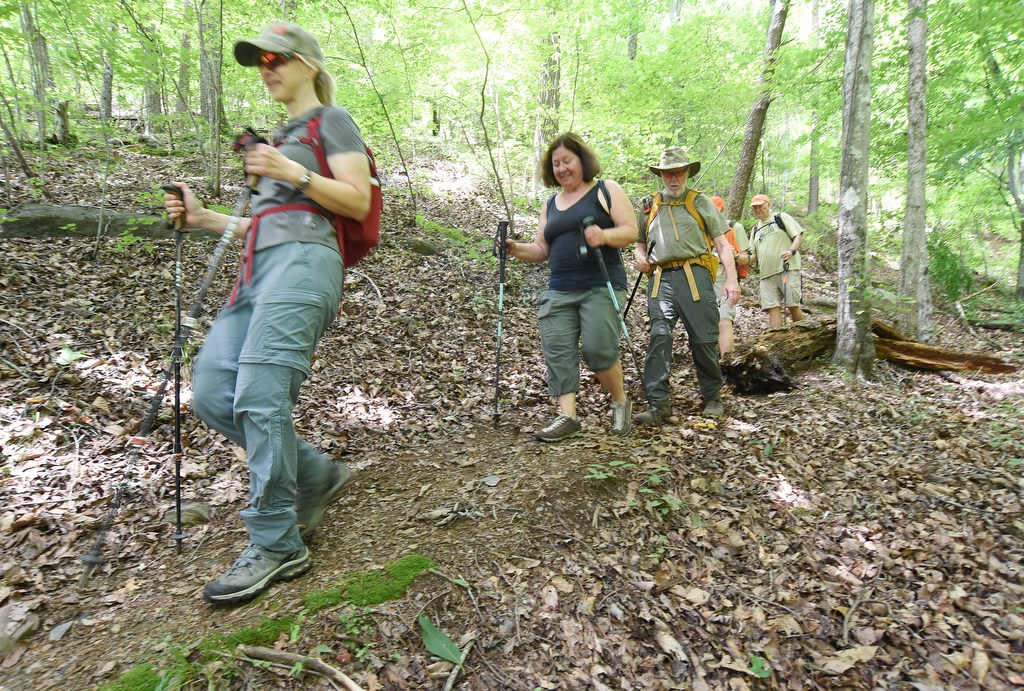

A bipartisan congressional bill seeking a feasibility study en route to designating the Benton MacKaye Trail in Tennessee, Georgia and North Carolina as the 12th National Scenic Trail in the U.S. was passed out of a Senate committee to the full Senate.
The Benton MacKaye Trail Feasibility Study Act of 2025, presented Tuesday to the Senate Agriculture Committee, was sponsored by Sen. Raphael Warnock, D-Georgia, and North Carolina Republican Sens. Thom Tillis and Ted Budd. Tillis is a former Chattanooga resident.
In April, legislation to study the feasibility of making the almost-300-mile-long trail a National Scenic Trail was reintroduced in Congress by U.S. House Reps. Chuck Fleischmann, R-Ooltewah, Steve Cohen, D-Memphis, Chuck Edwards, R-N.C., and Lucy McBath, D-Ga.; and the trio of senators back the measure in the U.S. Senate. Similar House bills were introduced several times in recent years, but they never reached the Senate.
Bipartisan Benton MacKaye Trail feasibility study act advances to full Senate
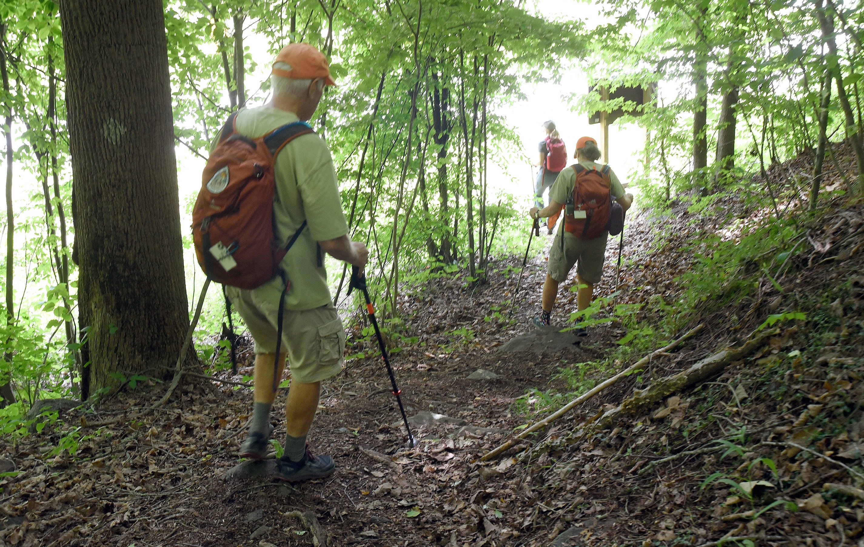
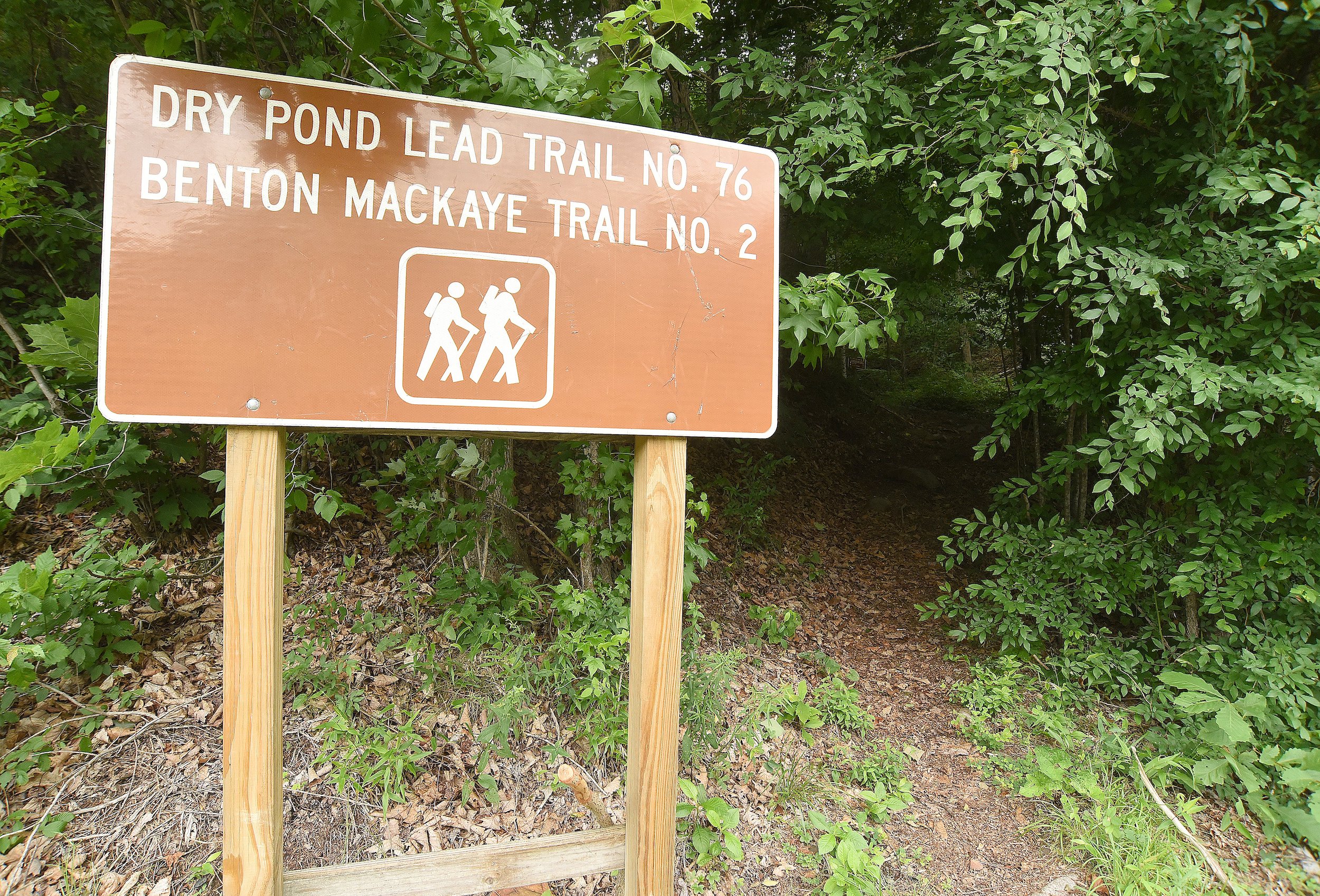
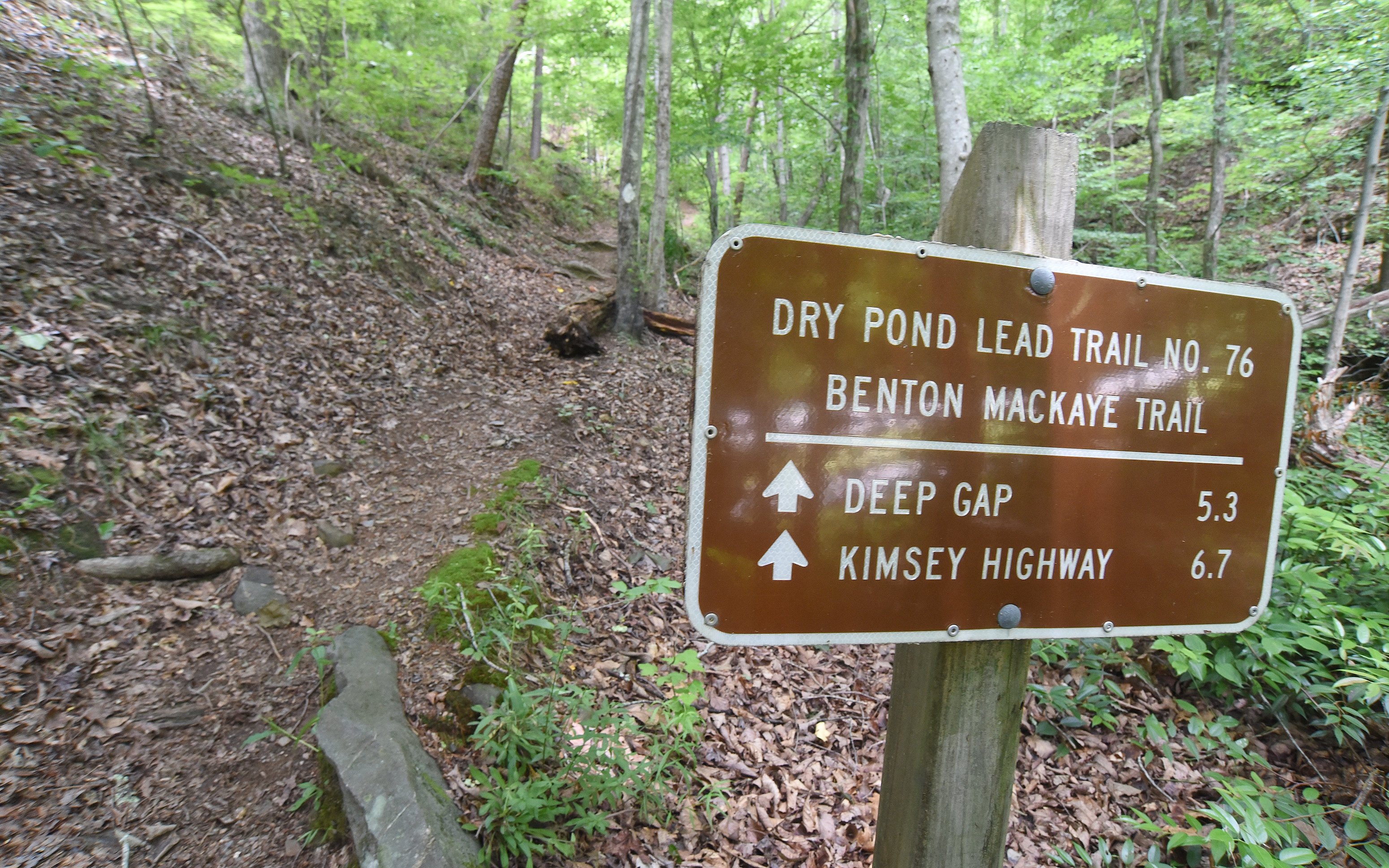
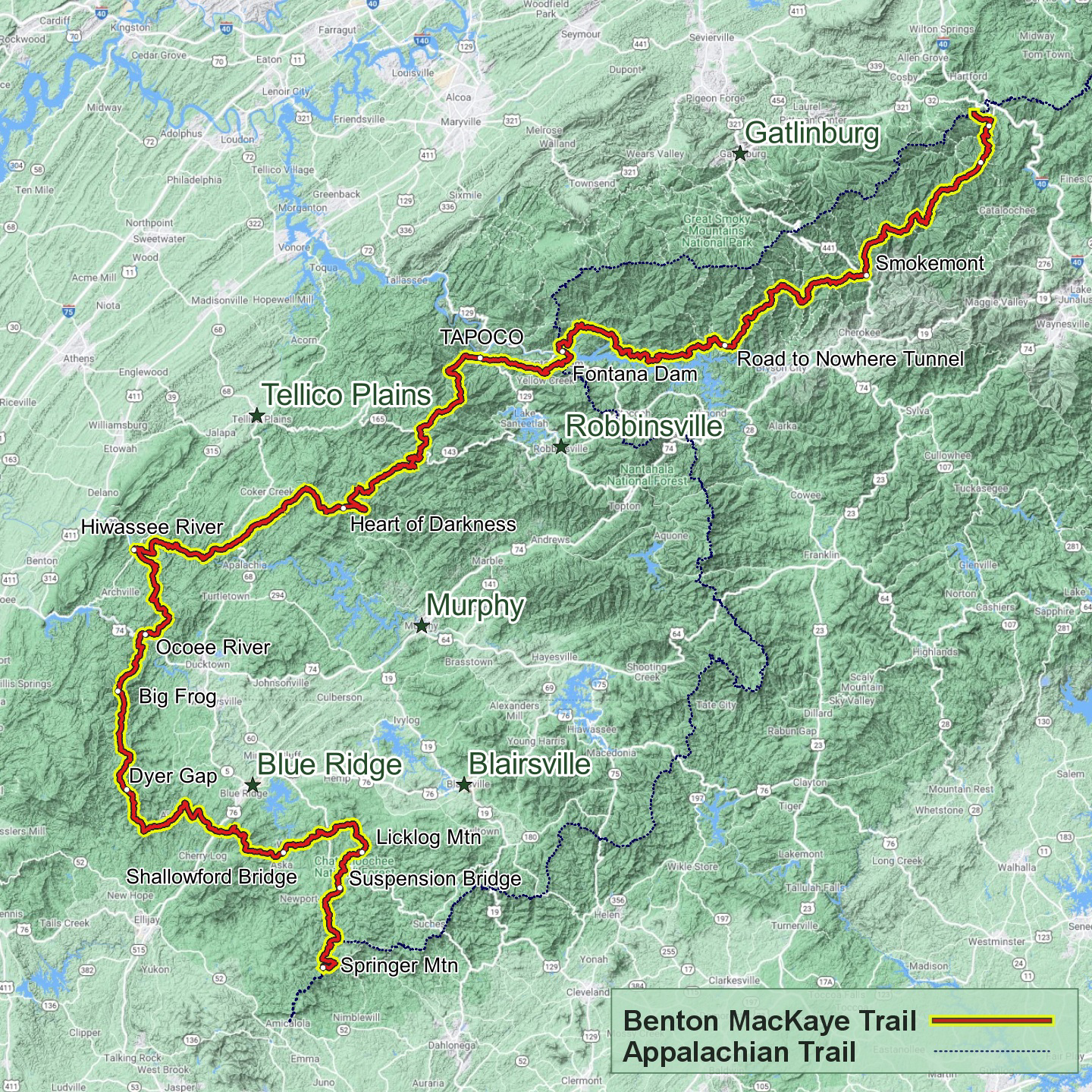
The Benton MacKaye Trail Association cheered the act’s passage as a critical step towards permanent protection for the 288-mile trail, according to an association statement.
“We are grateful for the leadership from Sens. Tillis, Warnock and Budd on advancing legislation to protect the Benton MacKaye Trail and set it on the path to becoming our country’s 12th National Scenic Trail,” association President Bob Cowdrick said in the statement. The committee’s passage “is a major step forward for the association and everyone who cherishes the beauty, solitude and challenge the trail offers. The study will evaluate the trail’s scenic, natural and recreational value, which tens of thousands of hikers already enjoy every year.”
“It’s very exciting news,” Cowdrick said in a follow-up phone call. “It’s one step further than we’ve ever been before.”
In past attempts to get the trail designation before lawmakers, officials originally sought the designation directly, but last year they changed tack. Instead, the effort now is to get a feasibility study approved because the trail is already established and being maintained and improved by association members.
The feasibility study should be a simple task, Cowdrick said, since the trail has been in use for more than 40 years.
“We know it’s feasible because it’s on the ground already,” Cowdrick said. “It’s a bill that doesn’t cost the public anything.”
The sponsoring lawmakers applauded the bill’s first appearance on the Senate floor.
“This bipartisan legislation is a key step towards strengthening Georgia’s forests and green spaces, creating a bridge to connect communities and investing in our rural economies,” Warnock said in a news release. “By preserving our natural landscapes, we can ensure future generations of Georgians can enjoy all our state has to offer.”
Tillis echoed that praise.
“The Senate Agriculture Committee’s passage of this bipartisan legislation marks an important step toward designating a new National Scenic Trail along the Appalachian Mountains connecting North Carolina, Tennessee and Georgia,” Tillis said in the release.
The trail, if it receives the designation, will strengthen economic development and create new opportunities in the communities it touches, Tillis said.
(SIGN UP: Get breaking news in your inbox as it happens by going to timesfreepress.com/breaking)
“I look forward to supporting its passage on the Senate floor,” he said.
Passage of the act will provide Georgia families access to the world-class trails they deserve, U.S. Sen. Jon Ossoff, D-Ga., said in the release.
“Working alongside Sen. Warnock, we are working to help preserve one of North Georgia’s treasured forests and mountains,” Ossoff said.
HISTORY AND THE ROUTE
A forester, conservationist, regional planner and the trail’s namesake, Benton MacKaye (1879-1975) was known for his advocacy for the Appalachian Trail and conservation of nature’s wildest places, according to association historical accounts. Today’s trail route closely resembles MacKaye’s proposed southern spur that extended the Appalachian Trail into North-Central Georgia.
Dave Sherman, a founding member of the association, was intrigued by MacKaye’s proposed spur trails extending from the Appalachian Trail and first conceived the idea for building a trail in 1975, historical accounts said. Eventually, Sherman proposed a new trail that was built between 1980 and 2005, following the high ridge running south along the Tennessee-North Carolina border between the Smoky Mountains and the Cohutta Mountains in Northwest Georgia.
The Benton MacKaye Trail and the Appalachian Trail begin on the southern end at the same point on Springer Mountain in Georgia. The two trails overlap at first, intersecting four times in the first 7 miles before taking separate paths at Long Creek Falls, according to officials. Those segments are good choices for day hikes.
From Long Creek Falls, according to trail descriptions, the trail heads north to cross the Toccoa River on the iconic swinging bridge in Fannin County, Georgia, before sweeping west to traverse several summits ranging from 2,500 to 3,500 feet in elevation in the Cohutta Wilderness Area and Big Frog Wilderness Area.
The trail crosses into Tennessee at the remote Double Spring Gap in Polk County, Tennessee, followed by crossings over the Ocoee and Hiwassee rivers. The trail then ascends to the boundary ridge between Tennessee and North Carolina near Sandy Gap, where hikers get 360-degree vistas of the surrounding landscape.
(READ MORE: Conditions ‘very good’ for colorful fall leaves in Chattanooga)
After parting ways for 180 miles, the Benton MacKaye and Appalachian trails meet again near Fontana Dam and entering the Great Smoky Mountains National Park. In the Smokies, the Benton MacKaye sticks close to Fontana Lake. From there, the trail climbs to its highest point at the top of Mount Sterling — 5,842 feet — then descends to Big Creek in North Carolina, the trail’s remote northern terminus about 5 miles south of Interstate 40.
NATIONAL SCENIC TRAILS
National Scenic Trails are primarily nonmotorized, continuous trails, and most extend for 100 miles or more. The routes traverse beautiful terrain and connect communities, significant landmarks and public lands.
— Appalachian Trail: 2,190 miles through 14 states from Georgia to Maine
— Arizona Scenic Trail: 800 miles in Arizona
— Continental Divide National Scenic Trail: 3,100 miles through five states from New Mexico to Montana
— Florida National Scenic Trail: 1,300 miles in Florida
— Ice Age National Scenic Trail: 1,000 miles in Wisconsin
— Natchez Trace National Scenic Trail: 65 miles in Mississippi
— New England Trail: 215 miles in Connecticut and Massachusetts
— North Country National Scenic Trail: 4,600 miles through eight states from New York to North Dakota
— Pacific Crest National Scenic Trail: 2,650 miles in California, Oregon, Washington
— Pacific Northwest National Scenic Trail: 1,200 miles in Idaho, Montana, Washington
— Potomac Heritage National Scenic Trail: 710 miles in Washington, D.C., Maryland, Pennsylvania, Virginia
Source: National Park Service
LONG PATH AHEAD
The path to a National Scenic Trail can be a long one, according to the National Park Service.
First, an amendment to the National Trails System Act must be passed, requesting a feasibility study, according to the park service. Second, the feasibility study must be conducted. Third, if the feasibility study recommends the trail be established, an act must be introduced seeking to add the trail to the National Trails System. Finally, once the trail is established, a comprehensive management and use plan that outlines the roles of the federal government and its partners must be created.
The process can take from six to 15 years, the park service said, and because of the amount of discussion involved, it often requires “a strong, well-organized, citizen-based organization at work on behalf of the trail.”
Contact Southeast Tennessee reporter Ben Benton at bbenton@timesfreepress.com or 423-757-6569.