The Benton MacKaye Trail may soon become America's 12th National Scenic Trail.
In 2021, a grassroots effort launched to get the BMT named a National Scenic Trail. In June, that effort gained bi-partisan congressional support in a new bill introduced in the U.S. House.
A National Scenic Trail is generally defined as a footpath that extends for 100 miles or more and showcases exceptional terrain and recreation opportunity.
"The natural beauty of the BMT makes it worthy of such a designation. The trail's emerald-green forests, stunning vistas, rippling streams and rushing waterfalls are just part of the stunning beauty found in the Southern Appalachian Mountains," Ken Cissna, president of the Benton MacKaye Trail Association, said in a release.
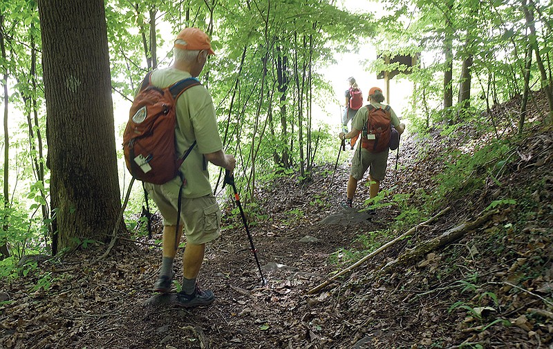
But regardless of whether or not the BMT receives national designation, the trail is worth exploring -- and with over 287 scenic miles, it boasts ample opportunities to do so.
Quick Facts:
>The Benton MacKaye Trail is nearly 300 miles, stretching through parts of Georgia, North Carolina and Tennessee.
> The trail includes 93 miles in the Great Smoky Mountains National Park, making it the longest trail in the Smokies.
> In addition to its path through the national park, the trail passes through the Chattahoochee, Cherokee and Nantahala national forests.
>It was named after forester Benton MacKaye, who first proposed the Appalachian Trail in 1921. Some portions of the BMT coincide with the AT.
> The trail has 49 different trailheads in three states.
> It was fully open in 2005, after 26 years of planning and building.
> The southern terminus is in Springer Mountain, Georgia, and the northern terminus is the Big Creek Ranger Station in Great Smoky Mountains National Park.
> The BMT has a total elevation gain of 18,500 feet.
> The highest point of the trail is the summit of Mt. Sterling, near the northern terminus, at 5,843 feet. The lowest point is the crossing of the Hiwassee River in Tennessee.
Explore the closest section.
Ready to get out and explore a section of the Benton MacKaye? The closest trailhead to Chattanooga is in Copperhill, Tennessee, beginning at the Ocoee River, 1.6 miles west of the Ocoee Whitewater Center. Drive time from downtown is about 1 hour, 10 minutes.
Thunder Rock Campground to Kimsey Mountain Highway
Where to park: Thunder Rock Campground in Cherokee National Forest (35.076168, -84.485148)
Total section distance: 13.3 miles (out-and-back)
Total elevation gain: 3,136 feet
From the campground, cross over the Ocoee River bridge and carefully cross U.S. Highway 64. The section starts off steep; as you climb, views of the Ocoee River Gorge open up. Much of the section passes through the Little Frog Wilderness and Little Frog Addition Wilderness Study Area, known for its backcountry beauty. Depending on the time of year, you'll see flame azalea, mountain laurel, rhododendron, crested dwarf iris and an abundance of other flowering plants, shrubs and trees.
Just over 6 miles into the hike, you'll reach the Kimsey Mountain Highway crossing. There, you'll want to turn back. According to alltrails.com, this section takes the average hiker about seven hours to complete.
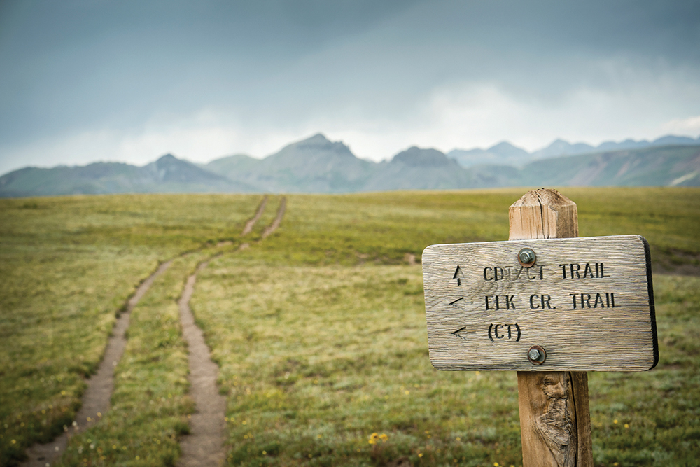 Continental Divide and Colorado Trail signage in the San Juan Mountains, Weminuche Wilderness, Rocky Mountains, Silverton, CO, USA
Currently, there are 11 National Scenic Trails, totaling 24,600 miles:
> Appalachian National Scenic Trail
> Pacific Crest National Scenic Trail
> Continental Divide National Scenic Trail
> North Country National Scenic Trail
> Ice Age National Scenic Trail
> Potomac Heritage National Scenic Trail
> Natchez Trace National Scenic Trail
> Florida National Scenic Trail
> Arizona National Scenic Trail
> New England National Scenic Trail
> Pacific Northwest National Scenic Trail
BENTON MACKAYE TRAIL ASSOCIATION
The Benton MacKaye Trail Association was founded in 1980. When the trail crossed the border into Tennessee in 1987, the association celebrated the completion of 93 miles of trail. The grand opening for the entire trail was held in 2005, according to association officials. Today, approximately 95% of the nearly-300-mile route is on public lands in Tennessee, Georgia and North Carolina, managed by either the U.S. Forest Service or the National Park Service.
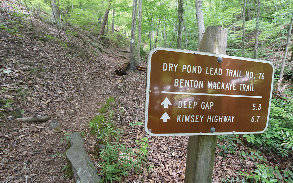 Staff photo by Matt Hamilton / A sign marks the Benton-MacKaye Trail in Polk County, Tenn. on Friday, June 10, 2022.