
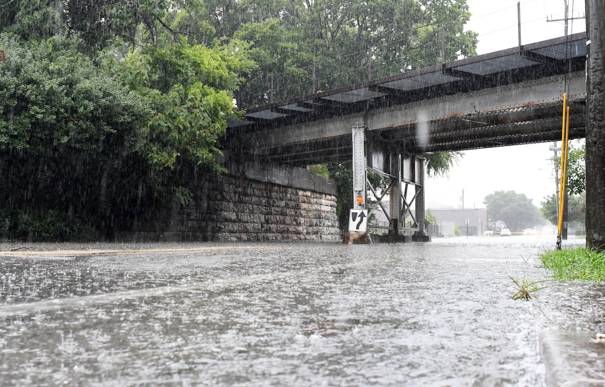

A cold front sweeping through Tennessee on Wednesday will bring the potential for damaging winds, thunderstorms and heavy rain as March ushers in some of the first of its typically unstable weather.
The National Weather Service on Tuesday predicted a 36-degree drop in temperature as the storm system passes through Wednesday afternoon and evening.
“It’ll probably be the strongest one of the year so far,” weather service meteorologist Andrew Moulton said Tuesday in a phone call. “It’s still a little bit up in the air about the exact timing, but it really looks like it’s going to be definitely after sunset Wednesday night. Midnight looks kind of like the most likely right now.”
Moulton said some people might sleep through the storms, but most will hear nature’s loudest alarm.
“When it hits, I think a lot of people are going to get a little bit of a rude awakening with a quick strike of lightning in the area,” Moulton said. “I wouldn’t be surprised if that’s what people are talking about on Thursday morning.”
(READ MORE: Emergency, weather officials push severe weather awareness as storm season approaches)
Wednesday night, Moulton said the system will come through as a line of storms, starting with wind.
“It’s going to be windy right at the front edge and then storms lasting for maybe a couple of hours,” he said. “The primary threat will be those straight-line winds, which could get up to 60 miles an hour.”

DROUGHT
Despite recent rains, Southeast Tennessee over the past few weeks has been experiencing dry conditions ranging from moderate drought west of the Tennessee River, severe drought in East Hamilton, Meigs, McMinn, Monroe and Polk counties, to extreme drought in North Bradley County, according to the Tennessee Climate Office at East Tennessee State University in Johnson City.
Tuesday’s and Wednesday’s rain could improve conditions, though some areas could remain relatively unchanged. The climate office describes soil moisture conditions as no drought, abnormally dry, moderate drought, severe drought, extreme drought and exceptional drought.
March started off warm, matching 1955’s record 79-degree mark March 1, then hit a record 81 degrees March 5 and set another record March 6 of 83, according to weather service records. The highs broke marks of 80 for March 5 and 82 for March 6, set in 1955 and 1956, respectively.
Unfortunately, the storm system isn’t likely to drop enough rain to pull Southeast Tennessee out of a lingering drought.
“You guys down there are at 7.13 inches, but the normal value that we’re supposed to be at is 11.66,” he said. “So that puts us approximately 4.5 inches below normal just for the calendar year.”
The Chattanooga region was already a few inches short of normal rainfall at the end of 2025, he said, and now the dryness is lingering.
“We’re hoping that as we get into March, April, May — kind of our rainier months,” Moulton said, “we get more rain that can help us catch up.”
SEVERE WEATHER PREP
The first significant severe storm system offers a chance for a trial run, Moulton said, urging people to think about what they’ll do in weather emergencies.
“With this coming through in the middle of the night, I’m hoping most people are indoors,” he said. “It’s absolutely a good time to start thinking about your severe weather plan.”
The weather service offers the following tips for staying safe when severe weather is forecast:
— Get a NOAA weather radio if you don’t have one already. Do regular checks to make sure it’s working correctly.
— Weather service officials suggest people check the forecast regularly to see if there is a risk for severe weather events and listen to local news or a weather service weather radio to stay informed about watches and warnings.
— Learn how your community sends warnings and sign up for notifications.
Tornadoes, high winds or severe storms
— Move away from windows, doors and outside walls.
— At work, shut office doors on your way out of exterior office spaces to help prevent flying glass and debris.
— Proceed calmly and quickly to your designated shelter area.
— Listen carefully to instructions over the building’s public address system or from designated officials.
If you are outdoors during an active tornado
— Immediately seek the lowest, most interior part of a sturdy building.
— If no shelter is nearby, lie flat on your stomach in a ditch or low spot with your hands shielding your head.
— Avoid overpasses and bridges to avoid being struck by hazards, flying debris and strong winds.
Contact Southeast Tennessee reporter Ben Benton at bbenton@timesfreepress.com or 423-757-6569.