
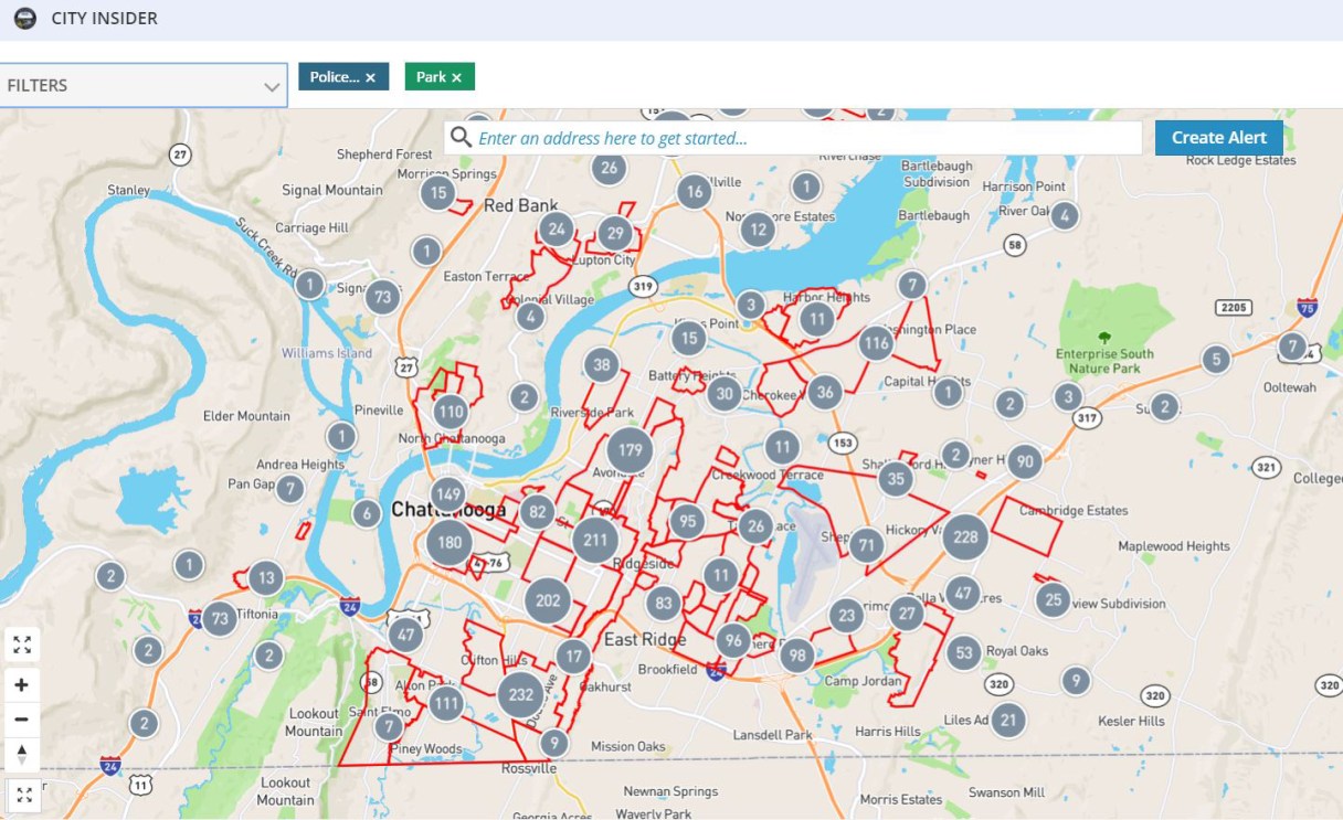
The city of Chattanooga on Tuesday launched a web application that allows users to see city data broken down for their communities.
The City Insider application uses data from the Chattanooga Public Library’s Open Data Portal and puts it in an interactive map. On the map, users can see the number of crime incidents and non-emergency municipal calls, as well as locations for parks and public schools all over the city.
Mayor Andy Berke called City Insider “another valuable tool for citizens and neighborhoods as we work together to make Chattanooga a better place for everyone.”
The map can be set to show neighborhood associations or city council districts. The application also features a heat map that shows high-crime-rate areas, and users can select filters for which crimes they want to see. A specific address also can be searched, and the number of incidents in a specified radius shown. The radius can be expanded up to 10 miles.
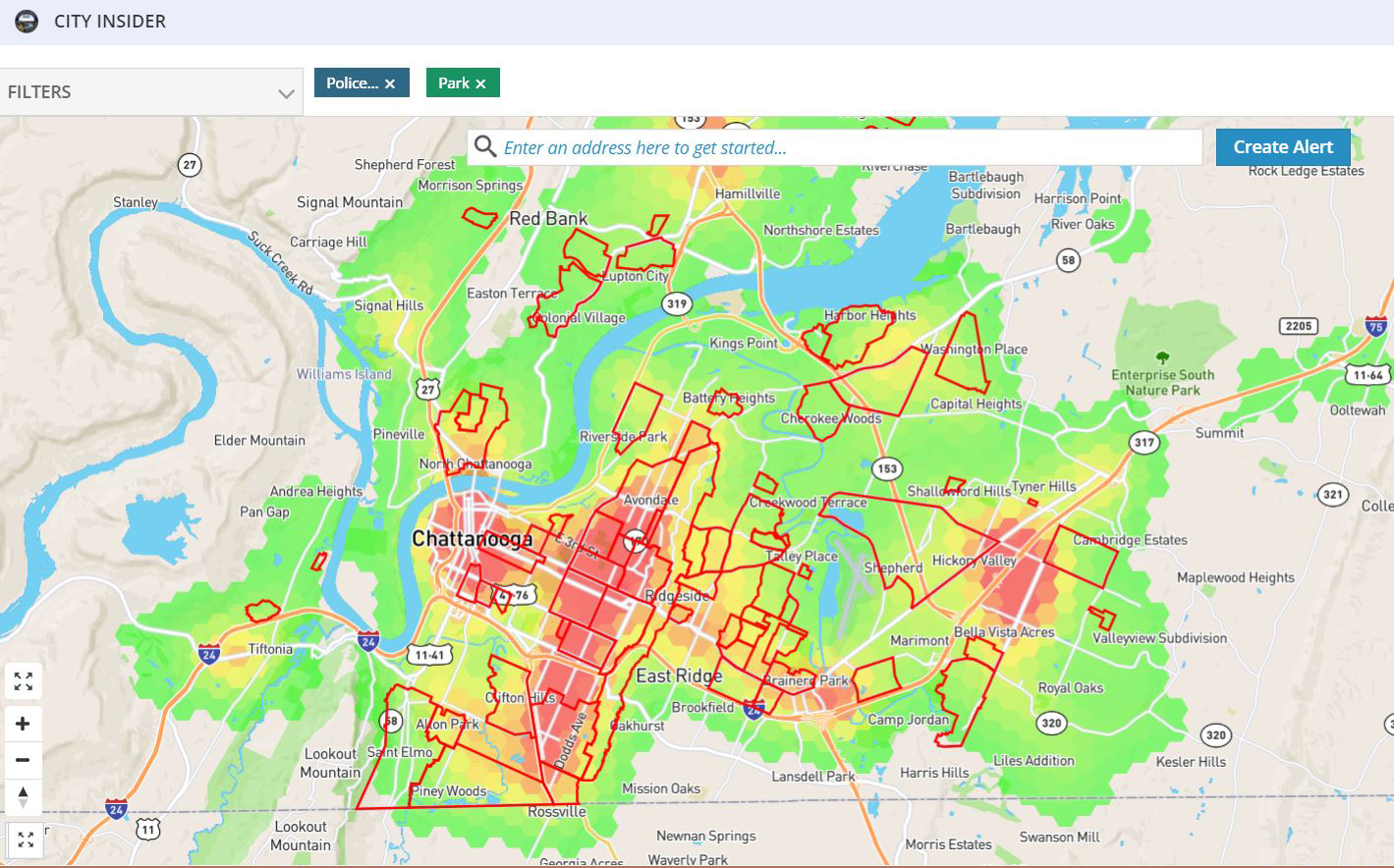 A screenshot of the City Insider web application.
 Chattanooga Mayor Andy Berke speaks during the Memorial Day Program on Monday, May 29, 2017, at Chattanooga National Cemetery.
Users can also select a specific date range for the data they want to see. Now, data for police incidents dates back to 2015, and non-emergency municipal calls date back to 2016. Once a date range has been selected, the application further breaks down the data by hourly statistics, which can be selected as a filter to view all the crime reported at a specific time.