
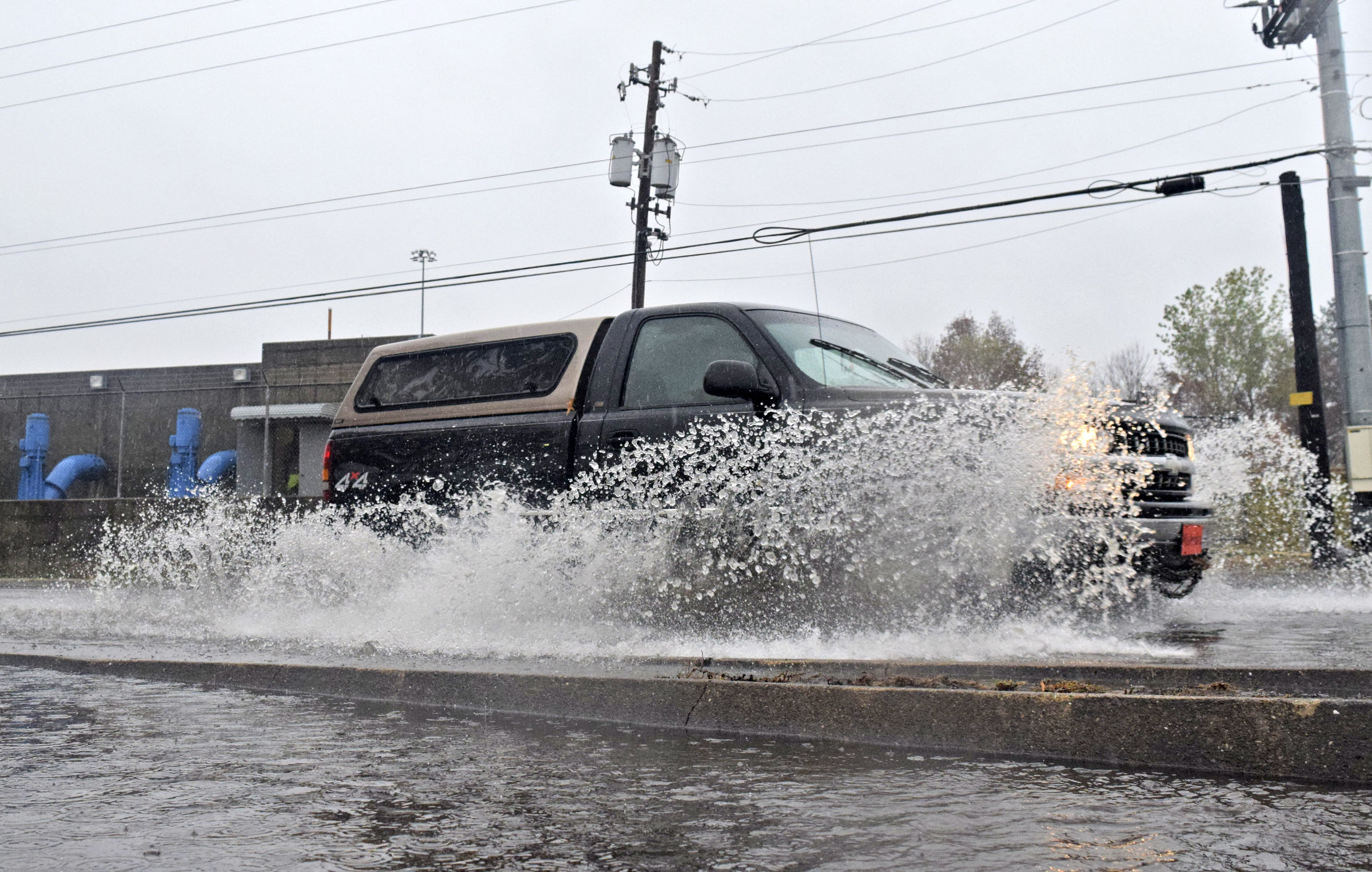
 A truck drives through high water on Cornelison Road near Eastgate Centre in Brainerd. In the background is one of the pumpstations that manages flooding along the Brainerd Levee. Heavy rains caused ponding on roads in the Chattanooga area on November 30, 2016.
Finally, the parched and burning tri-state region has gotten its first taste of game-changing rain that may put a dent in the many wildfires afflicting it.
A little over a week ago, this year was shaping up to be the driest on record for Chattanooga, but the recent deluge could put the area in a more reasonable range if it continues, as meteorologists suspect it might.
“We’ve had 5.4 inches in the last 41 hours,” said Paul Barys, chief meteorologist for WRCB-TV Channel 3 on Wednesday afternoon. “We’ve had almost as much rain as we had from July 24 to Nov. 27. It’s an enormous change.”
According to Barys, the pattern that has plunged portions of Tennessee, Georgia and Alabama into record drought levels is breaking down enough to permit the much-needed rainfall.
In looking ahead to the next week, with occasional showers expected Sunday through Tuesday, he is hoping the good news will continue long enough to help the area begin to dig its way out of the drought.