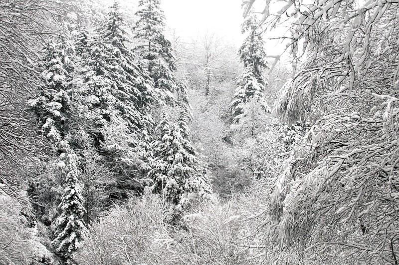
 Snow-covered trees are seen after an overnight storm Monday, Oct. 29, 2012, in the Great Smoky Mountains National Park, near Gatlinburg, Tenn. Rangers expect more snow and high winds in the days to come as fallout from the storm pounding the East Coast. (AP Photo/Knoxville News Sentinel, J. Miles Cary)
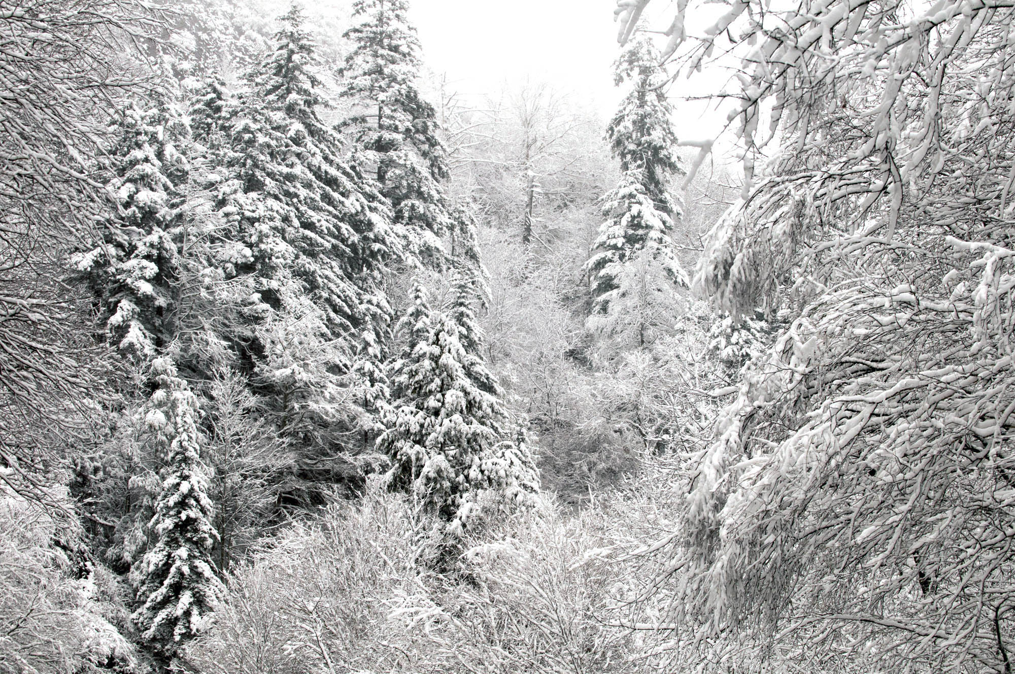
David Goddard
The good news for campers in the higher altitudes of the Great Smoky Mountains National Park on Monday was that high winds that had been forecast for the area "stayed on the low end," as one forecaster put it.
The bad news? The 11 inches of snow estimated to have fallen by the end of the day was not all that was expected to blanket the area - not by a long shot.
"We haven't had any reports yet from what got added to the totals overnight," said National Weather Service spokesperson Shawn O'Neill early Tuesday morning, "but this is an ongoing event.
"Certainly in the Mount LeConte and Clingman's Dome areas, it will continue to snow throughout the day and the night. They are looking at somewhere between two-and-a-half to three feet of snow by the time this is done."
O'Neill said that they hadn't gotten any reports of snowfall in the valley, and that the snow line for this storm seemed to be around 2500 feet.
"Of course, that will drop as the temperature does, but we don't expect it to get too much below that," said O'Neill.
U.S. 441 between Gatlinburg and Cherokee, N.C., remains closed due to snow and ice.
Winds, which had been projected to possibly be up to 50 miles per hour in the higher elevations, stayed on the low end of the forecast, which was said to be in the 25 miles per hour range.
"That's one good thing," said O'Neill. "But, of course, when the sun comes up, the wind will begin to pick up more as well."