More than a foot of snow possible for parts of Midwest

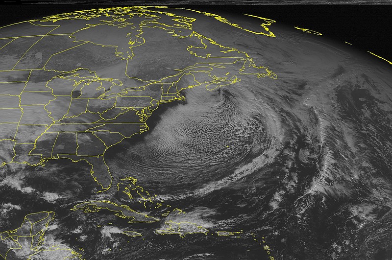
This NOAA satellite image taken Saturday, Jan. 31, 2015 at 12:45 PM EST shows widespread clouds off the Eastern Seaboard as arctic air works across the region. A storm center is departing northern New England, with some snow slowly moving out. Clouds thicken across the western Ohio and Tennessee Valleys into the Mississippi River Valley as a developing winter storm with snow over the Central Plains and rain over the Southern Plains and Texas, and Mid Mississippi Valley.

CHICAGO -- The National Weather Service has extended winter storm warnings in the Midwest and now expects more than a foot of snow in parts of Illinois, Indiana and Michigan.

The warning for northern Illinois and northwestern Indiana will now be in effect from 9 p.m. Saturday until 6 a.m. on Monday.

Ten to 14 inches are expected, especially near Lake Michigan.

Central and southern portions of Illinois and Indiana will see a rain-snow mix at the start of the storm.

The timing is bad for Super Bowl revelers, as travel on roadways could become hazardous.

National Weather Service meteorologist Ricky Castro says it will be the most widespread winter storm so far this season, as it barrels into the Midwest and maintains its intensity farther east into New York and Boston.
Upcoming Events