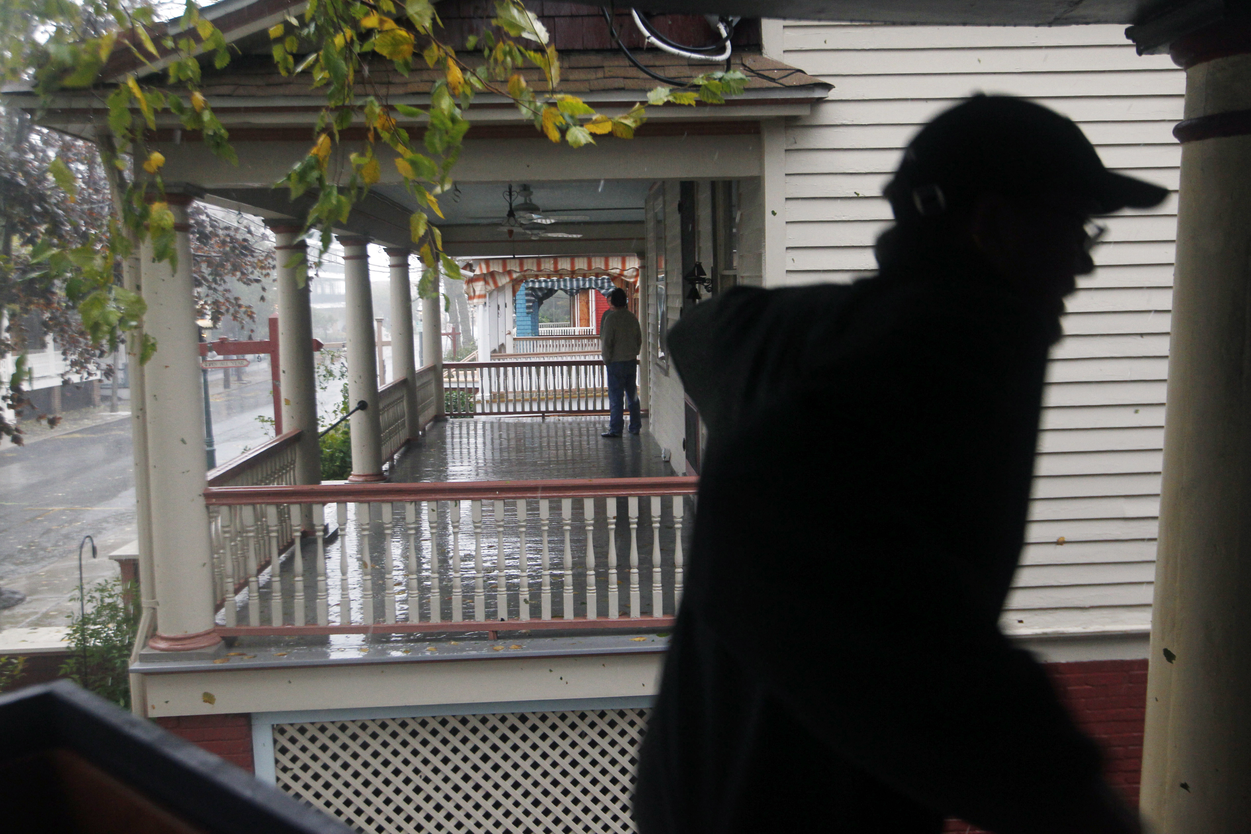
 While his neighbors talk on their porches, Cape May resident Dave Fitch checks on the lower level of his victorian home Monday, Oct. 29, 2012, in Cape May, N.J., as Hurricane Sandy continues toward landfall. The fast-strengthening Hurricane Sandy churned north Monday, raking ghost-town cities along the Northeast corridor with rain and wind gusts. The monster hurricane was expected to make a westward lurch and aim for New Jersey, blowing ashore Monday night and combining with two other weather systems - a wintry storm from the west and cold air rushing in from the Arctic - to create an epic superstorm. (AP Photo/Mel Evans)
Hurricane Sandy, after killing at least 69 people in the Caribbean, streamed northward, merged with two wintry weather systems and socked the Northeast, mid-Atlantic and Great Lakes with wind, waves, rain and snow. Some figures associated with Sandy's rampage through the U.S., as of Tuesday evening:
- Maximum size of storm: 1,000 miles across
- Highest storm surge: 13.88 feet, at New York
- Number of states seeing intense effects of the storm: At least 17
- Deaths: At least 55
- Damage: Estimated property losses at $20 billion, ranking the storm among the most expensive U.S. disasters
- Top wind gust on land in the U.S.: 140 mph, at Mount Washington, N.H.
- Power outages at peak: More than 8.5 million
- Canceled airline flights: More than 18,100
- Most rainfall: 12.55 inches, at Easton, Md.
- Most snow: 29 inches, at Redhouse, Md.
- Evacuation zone: Included communities in more than 400 miles of coastline from Ocean City, Md., to Dartmouth, Mass.
