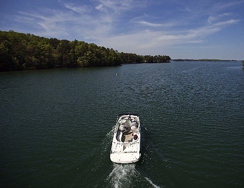
 A boat passes along Lake Lanier in Buford, Ga.
GAINESVILLE, Ga. - Officials at Lake Lanier say upgraded maps have given them better insight into the depths of the man-made lake and what objects and obstructions may rest far beneath its surface.
The Times of Gainesville reported Sunday that a firm that was contracted by the Army Corps of Engineers in 2010 used high-speed sonar and light detection to examine peaks and valleys of the land beneath Lake Lanier. The project was funded by federal stimulus money and the data was used to create maps of the lake.
The Corps' park ranger at Buford Dam, Russell Lundstrum is working to update the maps and says the upgraded versions are helpful in water safety initiatives and help officials detect low-water hazards.
The maps have also been helpful in recovery efforts, and have informed emergency responders of the type of underwater environment they may be entering during a search, Lundstrum said. Lundstrum added that he's been able to share the maps with other agencies, including the Georgia Department of Natural Resources.
"Whatever search area they have, I can print (a map) out quickly. I even send them digital copies of the data. But, typically, in emergency situations, they like to have paper maps where they can point at and draw on," he said.
Aside from mapping the water's depths and helping in public safety initiatives, officials say the maps also pinpoint landmarks from the valleys that were flooded when Lake Lanier and Buford Dam were created in the 1950s.