NEW YORK (AP) - The Latest on winter weather affecting much of the United States (all times local):
12:35 p.m.
Forecasters say a winter storm is bringing several inches of snow to parts of Tennessee.
The National Weather Service says portions of eastern Tennessee were under a winter storm warning Sunday with up to 6 inches of snow expected before turning to rain. Higher elevations could see greater snowfall amounts.
The weather service says some areas could see freezing rain as the precipitation transitions from snow to rain, and heavy rain is possible Monday night. Hazardous driving conditions could develop where snow and ice occur, especially on bridges and highway overpasses.
In the Nashville area, about an inch of snow was predicted along Interstate 40 with 2 to 3 inches possible north of I-40.
___
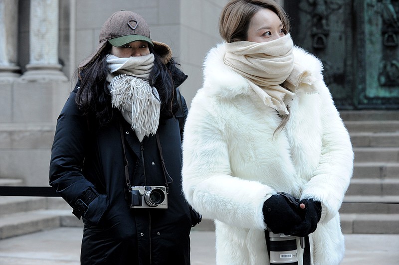
11:15 a.m.
Much of the northeastern United States woke up to record cold on Valentine's Day.
The National Weather Service says the temperature in New York City's Central Park on Sunday was minus-1, a record low for the date. The last time it got below zero in Central Park was in January 1994.
Boston reached minus-9, breaking the record set in 1934 by 6 degrees. It reached minus-16 in Worcester, Massachusetts, breaking the 1979 record of 11 below zero. Providence, Rhode Island, and Hartford, Connecticut, also tallied record lows.
In Montpelier, Vermont, the overnight temperature hit minus-19, tying a record set in 2003.
Temperatures were expected to climb before a winter storm already bringing snow to the Midwest moves into the region for the start of the work week.