After seven months of debate and three traffic studies, a developer will likely get to build a new neighborhood on Hixson Pike's infamous S Curves.
John Bridger, executive director of the Regional Planning Agency, said in a recent email that city officials have decided the proposed River Oaks subdivision could proceed, but developers would have to build a new road to connect to Hixson Pike north of Olde Towne Road.
Lamay Development Co. is planning to build around 35 homes on 14.76 acres surrounded by the Stuart Heights, Olde Towne and River Knolls neighborhoods on Hixson Pike.
The proposal initially was approved in December, but neighbors quickly formed an opposition force.
Neighbors paid for a traffic study that found the proposal unsafe because of high traffic and low visibility on the S Curves. Lamay Development paid for its own report that found the project safe. To settle the matter, Chattanooga in April funded a third independent study by WMB Engineering that largely sided with the neighbors.
Still, Bridger said last week the development could proceed without connecting to adjacent Braly Place or Olde Towne Road. The developer would have to create a new road at least 200 feet from Olde Towne Road.
But residents of Olde Towne are asking why the city is allowing something its own traffic study deemed unsafe.
Olde Towne Home Owners Association President Rick Phillips said the neighborhood's primary focus is safety.
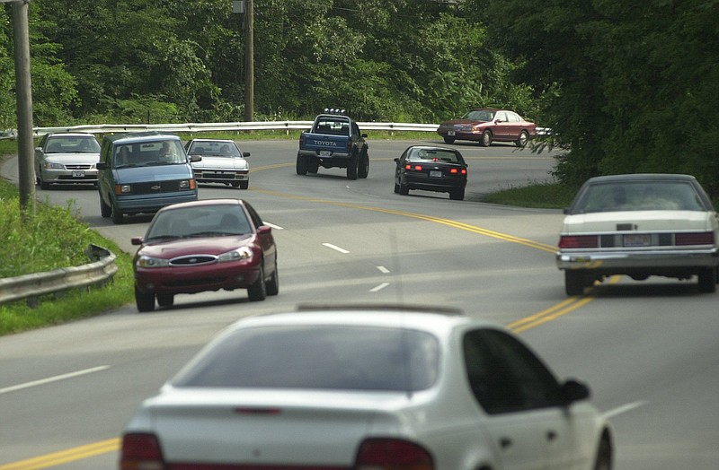
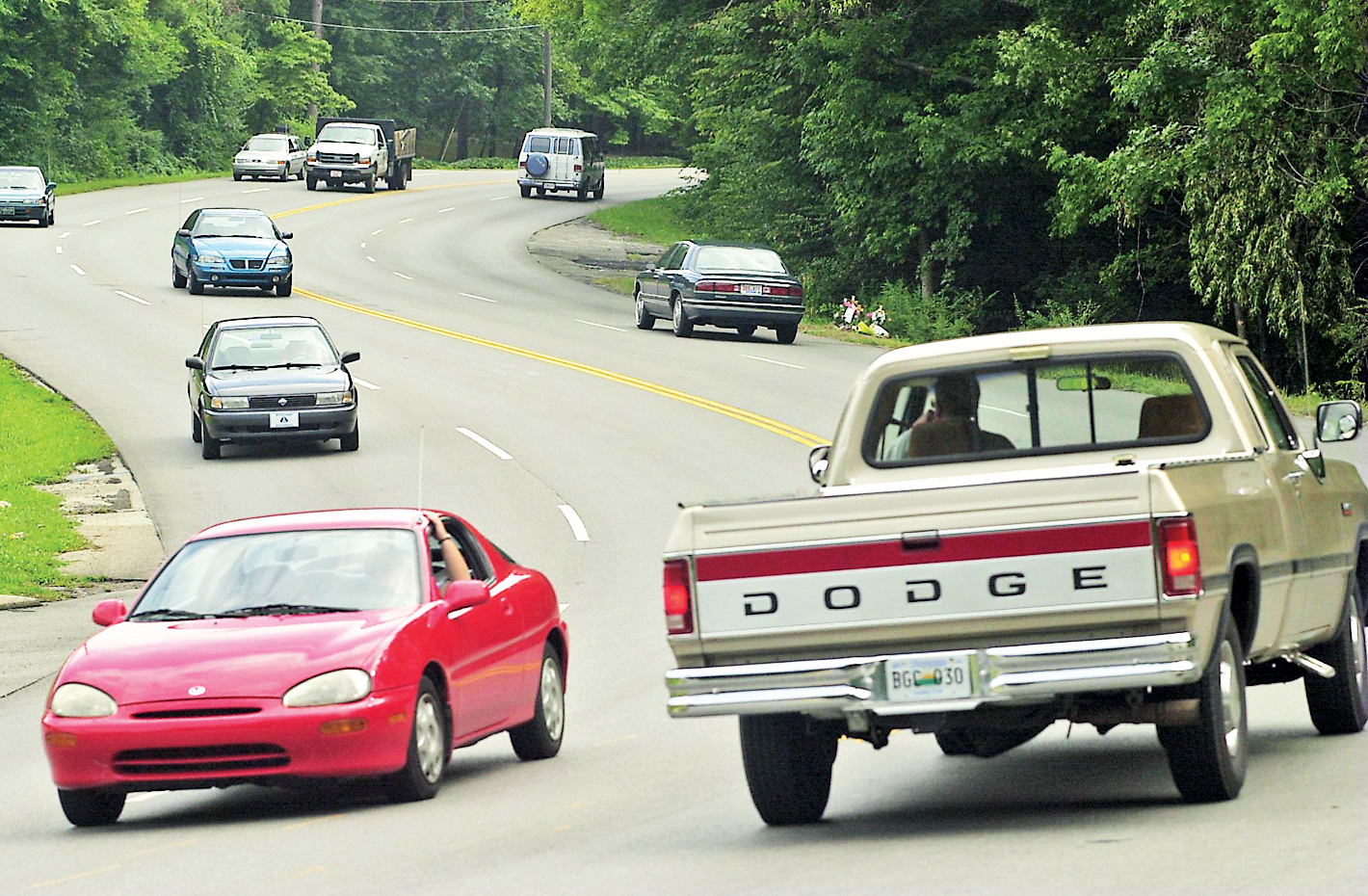 One of the most dangerous stretches of highway in Hamilton County is the section of Hixson Pike between Stuart Heights and Lupton City known as the S Curves, which consists of several sharp bends in the road as it goes up and down a hill.
"Our whole concern is their own WMB consultant, that they hired, said crashes on Hixson Pike will go up 35 percent [with the new development]." Phillips said. "It's apparent that they are ignoring the facts here. It's a question of - you've got a developer, and you've got people who are concerned and you've got the city. And of course we are talking about tax dollars for the city."
The WMB report said 200 feet was the bare minimum safe distance between roads entering Hixson Pike, and that 330 feet was recommended. Further, the minimum distance should only be used with conditions, according to the study.
"I would assume that the draft recommendation would mean that they would recommend a right in/right out only access if spacing was the minimum and would recommend a full access if the spacing was over 330 feet," according to the WMB study.
A left turn lane into the subdivision would be recommended to mitigate the danger, according to the report. But neither the subdivision proposal nor Bridger's statement indicate that a turn lane is required.
However, Bridger did say that because the plan allowed the minimum distance between roads, the Chattanooga Department of Transportation should evaluate the proposed intersection.
City Transportation Director Blythe Bailey said Tuesday the department was going to look at Hixson Pike in its entirety, not only the S Curves, to improve safety. And he couldn't say for sure whether the city would require or build a turn lane into the new road.
"If there's anything we can do to make it safer, we are going to do that. But short of drawing those conclusions we are looking at traffic numbers, we are looking the configurations of roads to see if and how we can fix Hixson Pike," Bailey said. "We are seriously looking at Hixson Pike to see if we can make any improvements, and we will do what we can."
Meanwhile, the neighborhood can submit a final plat, with necessary changes, for approval with the planning commission. After that step, permit plans can be submitted to the city's Land Development Office for review.
Contact staff writer Louie Brogdon at lbrogdon@timesfreepress.com, @glbrogdoniv on Twitter or at 423-757-6481.