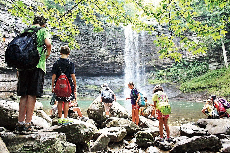
Philip Grymes rattled off a list of popular hiking destinations in the Chattanooga area: Stringer's Ridge, Raccoon Mountain, the trails on Signal Mountain and Lookout Mountain.
The list goes on and on.
Recreation-seekers can find maps of those outdoor destinations and numerous others at various places on the Internet.
"But they're all on different websites," said Grymes, the executive director of the city's outdoor programming agency, Outdoor Chattanooga.
A team of Chattanooga groups is pooling its expertise to create a single online destination, accessible to anyone, that maps the area's abundant outdoor offerings.
"The idea is that this is going to be the all-encompassing outdoor trail map for our region," Grymes said. "So when it's created, it'll be one central website that will cover the region, and you'll be able to drill down, open up and look at specific trails in the region."
The city, Outdoor Chattanooga, the University of Tennessee at Chattanooga's Geographic Information Systems department and the Open Chattanooga Brigade are teaming up on the effort.
It's going public Thursday with a "mapping and apping" party at Outdoor Chattanooga in Coolidge Park from 5:30-8:30 p.m., when outdoor enthusiasts are invited to share their local knowledge with mappers and designers putting the project together.
"This was just a natural way to work together and keep our Thrive database moving forward and crowdsource a lot of the information that's out there," UTC GIS manager Andy Carroll said, referencing his department's ongoing collaboration with the Thrive 2055 16-county regional planning effort. "We only have five people in the lab, and we can't map everything.
"So this is a great way to use technology and the enthusiasm of the outdoor recreation community."
Carroll said the final product will be distributed to tourism departments, counties and state agencies in Tennessee, Georgia and Alabama for their use, in addition to the goal of having a user-friendly service for the public.
"I think there are all kind of uses," he said. "We'll use it in our own modeling and planning for things we do here in the GIS lab at the university. That kind of data can go back into the classroom for people learning geospacial technologies. There'll be apps that the user can use. The goal is to have a one-stop mapping app, and I think that'll be a tangible product that'll come out of this group."
Contact staff writer David Cobb at dcobb@timesfreepress.com or 423-757-6249. Follow him on Twitter at twitter.com/DavidWCobb.