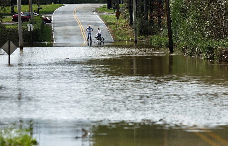
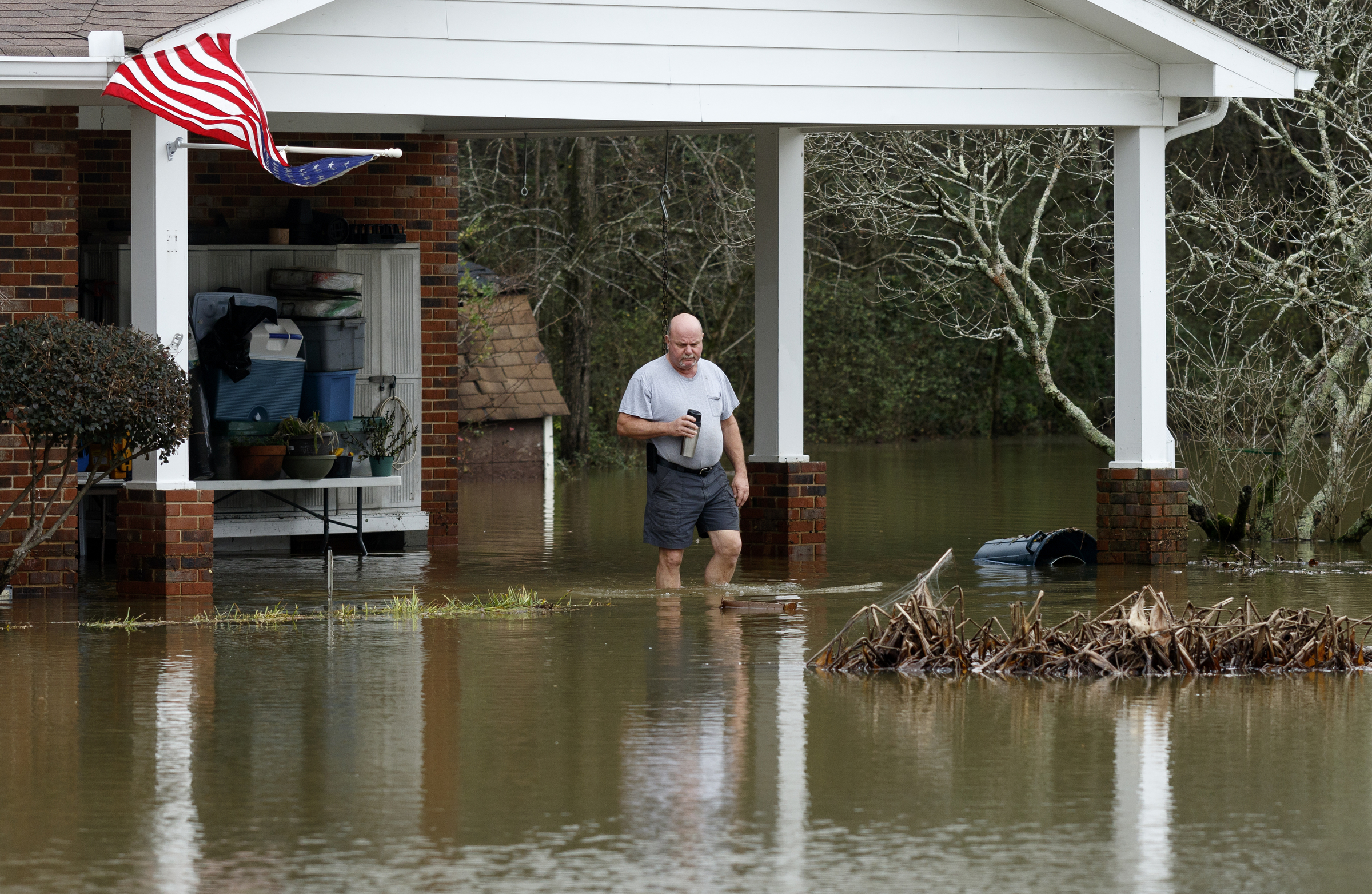
 A man walks from a home on Spring Valley Drive after Christmas day rainfall brought South Chickamauga Creek to a flood stage of about 26.5 feet on Sunday, Dec. 27, 2015, in East Ridge, Tenn. Major flood stage classification for the creek is 27 feet.
The city of Chattanooga has entered into a one-year agreement with the U.S. Geological Survey to better predict and respond to flooding with new stream monitoring systems for South Chickamauga Creek, North Chickamauga Creek and Chattanooga Creek.
Justin C. Holland, new administrator of the city's public works department, praised the decision to use the stream gauges.
"All three are new locations that will give us better predictability of flooding," he said. "These gauges will provide the same information that the USGS tracks and also provide us better modeling data to predict flooding and provide awareness of when and what the effects of a rainfall are to those streams."
The monitoring period launches April 1 in accordance with a $43,500 contract recently approved by the Chattanooga City Council. The U.S. Geological Survey is funding $10,875, or 25 percent, of the agreement.
Chattanooga now has monitoring in place only at South Chickamauga Creek that predicts elevations and crests after rain events, he said.
The collected data also will contribute to the city's flood preparedness plan, which is under development, according to a Chattanooga Public Works document.
Hamilton County Emergency Services Director Tony Reavley also expressed enthusiasm for the additional stream monitoring devices.
"With these new gauges, we'll be able to better pinpoint water levels," he said. "With more gauges on the streams, we'll be able to better notify responders and residents what is occurring and what actions to take."
The additional gauges offer improved insight into the overall picture of rain events, especially precipitation associated with localized storm cells that may immediately affect only a portion of the area, officials said.
Reavley said Hamilton County Emergency Services continually incorporates water level data with actual on-the-ground observations as part of its ongoing efforts to re-evaluate the actual impact of flood stage levels.
"Chattanooga is very susceptible to flooding," said Andrew Pritchett, lead meteorologist for the National Weather Service in Morristown, Tenn. "It is one of our most flood-prone areas."
This is due to runoff funneled into area creeks by surrounding mountainous terrain and rainfall that is not absorbed by urban areas dominated by pavement and concrete, he said. When combined with slow-moving rain systems, these conditions exasperate flooding potential.
With 66.87 inches of rainfall recorded for Chattanooga last year, 2015 went down as the eleventh wettest year on record for Chattanooga, Pritchett said. The average rainfall for the city is 52.48 inches.
Late December rains were especially heavy, generating about 8 inches of precipitation and resulting in moderate and minor flooding recorded for South and West Chickamauga creeks.
Current climate patterns indicate Chattanooga is on track for a wet April, which is normal for the region, Pritchett said.
Contact staff writer Paul Leach at 423-757-6481 or pleach@timesfreepress.com.