UPDATE: As of 11:30 p.m., all hazardous weather alerts have expired for the greater Chattanooga area.
---
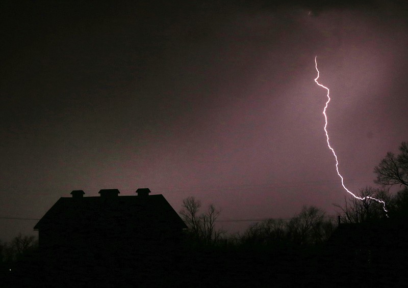
A low pressure system moving into the Tennessee Valley will produce strong to severe thunderstorms in scattered areas across the region tonight, according to the National Weather Service.
Some of these thunderstorms will be capable of producing damaging winds and hail up to the size of a quarter, the federal agency said in a hazardous weather outlook.
The risk of severe thunderstorms continues on Thursday, as another storm system is predicted to move across the Tennessee Valley that could produce showers and thunderstorms.
In Tennessee, a severe thunderstorm watch has been issued for Bledsoe, Bradley, Grundy, Hamilton, Marion, McMinn, Meigs, Polk, Rhea and Sequatchie counties.
In Georgia, Catoosa, Dade, Murray, Walker and Whitfield counties are under a severe thunderstorm watch.