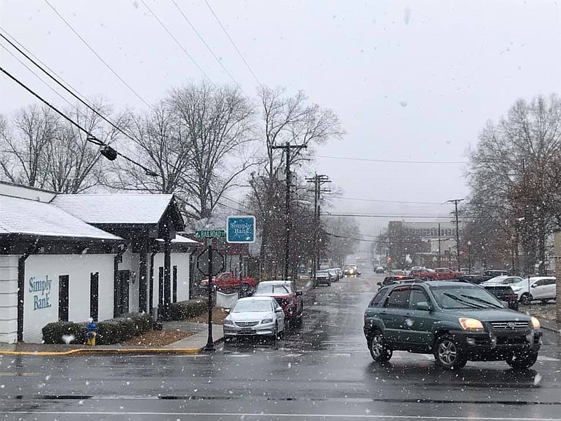
As the mercury continued to travel down the thermometer Tuesday, the chances of Chattanoogans seeing some snow flurries this evening increased, according to WRCB-TV meteorologist Brittany Beggs.
"We've had several reports of sleet and snow in Dayton Mountain and in Ray County a little bit more, and in Monteagle, that air temperature has been at 30 degrees for the past couple of hours now," she said around 2:30 p.m. "We're looking at a wintry mix to develop in Chattanooga. ... Just in time for the evening commute, after 6 o'clock, we're looking at light snow showers until about midnight or so."
Low temperatures tonight are anticipated to be near 30 degrees, and higher elevations could see them in the 20s. Temperatures were hovering around 41 degrees at 2:30 p.m., with light rain, mist and fog in the Chattanooga area. Road temperatures remained warm, so there wasn't much of a chance of accumulation on the roads in and around the city as the evening progressed.
"There could be light snow on the grass tonight," Beggs said.
(READ MORE ON SCHOOL CLOSINGS/EVENT CANCELLATIONS)
Chattanooga Public Works spokeswoman Colline Miller said Tuesday afternoon that her department had been monitoring the weather.
"Our only concern is possible freezing in our higher elevations throughout Chattanooga," she said. "Therefore, we are prepared to use sand and salt on icy spots. Only a few pieces of heavy equipment are loaded, but we have not taken action at this time."
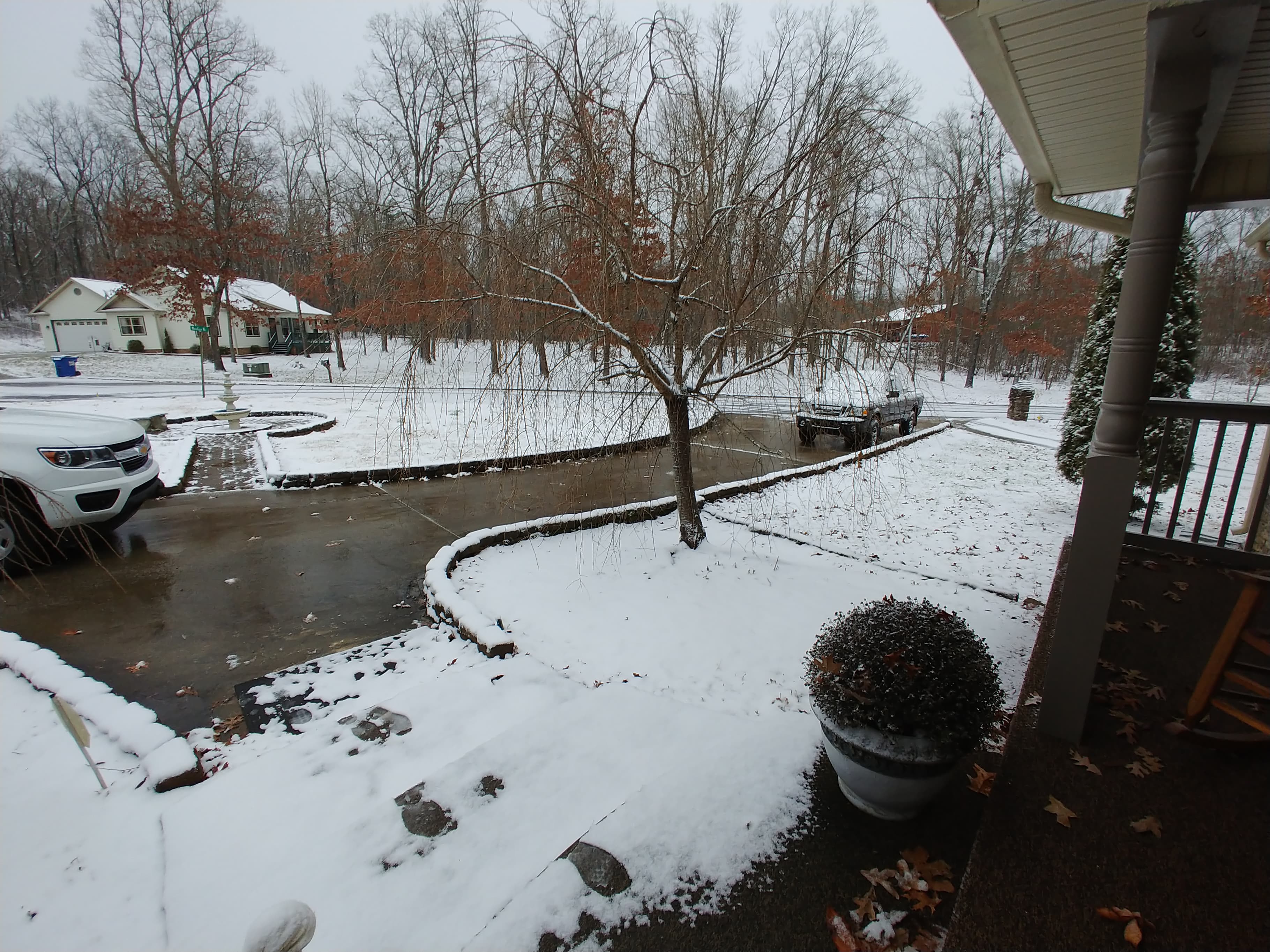 Photo by Kim Scarbrough / Snow dusts the driveway of a home on Dayton Mountain Tuesday afternoon.
People in Bradley, McMinn and Monroe counties, however, have a good chance of seeing a dusting Tuesday evening.
Meanwhile, Beggs expects accumulation of 1-2 inches is possible for Dayton, and up to 1 inch for north Bradley County.
By 1 a.m., the cold front is expected to move out of the area, with sunny weather expected for Wednesday, she said.
------------------
ORIGINAL STORY
It'll be a wet and miserable commute home this evening for many in the Chattanooga region, but slick driving conditions aren't expected until after freezing temperatures hit later tonight.
There will be just a few areas that may see a dusting of snow, according to WRCB-TV meteorologist Brittany Beggs.
"The best area [for snow] is going to be from Monteagle, Grundy County, Van Buren County, Northern Sequatchie [County] and even Jackson County, Alabama, too," she said just before noon Tuesday. "And it will just clips northern DeKalb County in Alabama as well."
Temperatures fell throughout the day, but road temperatures at the moment are "well above freezing," she said. "So, a lot of this stuff is going to be sticking at all today. Tonight, as temperatures continue to drop, there's going to be some minor accumulation, but it's not going to be a lot."
The areas with highest accumulation are likely to be far west Jackson County, where as much as 1 to 1 1/2 inches of snow is anticipated, Beggs said. There could also be accumulation in west Frankling and west Jackson counties.
"I don't think there's going to be anything happening as far as anything sticking in Chattanooga," she added.
Most of us will be dealing with wet roads all day and evening, so "I think it's going to be a messy commute home," Beggs said.
Freezing temperatures will arrive later tonight, with temps already dipping low in Altamont Tuesday afternoon.
"There's probably going to be some slick areas over in Grundy and Van Buren for the commute home," she said.
Some schools in the Chattanooga Valley had already announced plans to send students home early Tuesday in preparation for the winter weather.
Colin Stewart can be contacted at cstewart@timesfreepress.com or at 423-757-6366.