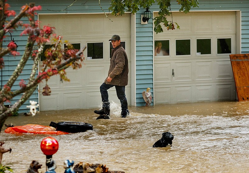
Flood risk is changing in portions of the Chattanooga area, and representatives from the federal and Tennessee state emergency management agencies are hosting a public open house to inform citizens of potential changes to the Federal Emergency Management Agency's flood insurance rate maps.
The open house is at the Chattanooga-Hamilton County Development Resource Center from 5-8 p.m. Thursday.
The flood risk was updated for 725.9 miles of flooding sources by the recent Middle Tennessee – Chickamauga Watershed Risk Mapping, Assessment and Planning project, for which updated high-resolution topographic data, engineering studies and environmental modeling were used to better identify and assess the area's flood risk, according to Kristen Martinenza, director of FEMA's Risk Analysis Branch for Region 4, which comprises Alabama, Florida, Georgia, Kentucky, Mississippi, North Carolina, South Carolina and Tennessee.
"If you have any family, friends that you love that have been in a floodplain or near ... a 100-year floodplain, some of them have gotten better and some of them got worse," Soddy-Daisy Mayor Steve Everett said at a recent City Commission meeting, referring to the changes in flood risk in certain parts of the city.
Open house attendees will have the opportunity to meet one-on-one with a floodplain mapping specialist who can help them look up their property and determine their existing flood risk and whether there is a proposed change in risk, Martinenza said in an email.
An individual property's flood risk is identified as low, moderate or high.
(READ MORE: Harris to announce $1B to states for floods, extreme heat)
Areas with a 1% or greater annual chance of a flood event — aka 100-year floodplains or special flood hazard zones — are determined to be high-risk, areas that have a 0.2% annual chance of a flood event or are protected by a levee are considered to be at moderate risk, and other areas are considered low-risk.
"It is important for citizens to understand low risk does not mean no risk," Martinenza said. "Even structures in a low-risk flood zone have the potential to flood."
FEMA representatives also will be on-hand at the open house to answer questions about flood insurance, the process to appeal flood risk map changes and the engineering studies used to determine an area's flood risk, she said.
(READ MORE: How will Risk Rating 2.0 affect Chattanooga-area flood insurance rates?)
The preliminary flood zone data is still subject to change. The public can provide feedback at the open house, and communities can submit technical data and comments through the end of the 90-day appeal and comment period in spring 2024, Martinez said.
Property owners who believe their property's flood risk was incorrectly identified on the proposed flood risk maps can submit an application to FEMA at any time to have the location and elevation of their property formally determined relative to the flood hazard zone.
The proposed flood risk maps are available for Soddy-Daisy residents to view at City Hall, and Everett suggested citizens make an appointment with Public Works Director Steve Grant so he can explain the changes.
(READ MORE: Soddy-Daisy continues to seek solutions to flooding issues)
FEMA representatives are meeting with local government officials Thursday morning to address any concerns they may have about the potential changes before the public open house, Grant said at the commission meeting.
Residents of other municipalities or unincorporated areas can contact their local officials for more information on the new flood risk maps.
Citizens can also look up their property's effective and proposed flood risk at the FEMA Map Service Center at msc.fema.gov.
Contact Emily Crisman at ecrisman@timesfreepress.com or 423-757-6508.