
If snow is your thing, you may like next week's weather — if you can stand the frigid temperatures.
Forecasters are calling for some of the coldest January weather the Chattanooga region has experienced since 2018 as a cold front moves in after the weekend, with temperatures that could dip as low as 10 degrees by Wednesday morning.
The increasing cold will be preceded by an increasing chance of snowfall, according to the National Weather Service in Morristown, Tennessee.
The cold temps mean any snowfall accumulation Monday and Tuesday will remain until above-freezing temperatures return. Chances for snow are better for higher elevations, said Tim Doyle, weather service meteorologist, in a phone interview Friday. The forecast calls for a 30% chance of snow Monday and a 40% chance Tuesday.
(READ MORE: TVA braces for coldest weather since Winter Storm Elliott forced power blackouts)
"I would say an inch or so, and the better chances for snow are going to be north and east of Chattanooga," Doyle said. "It looks like it's going to be a dry snow, too, and maybe the higher elevations might get more in the valleys. I think everybody will get at least a dusting."
The record for snowfall Jan. 16 — Tuesday, when the best chance of snow is predicted — is 1.6 inches in 2008, Doyle said.
Falling temps
But be warned: If you're going to play in the snow, bundle up. It's going to be cold.
"The colder air will move in Monday," Doyle said. "It's coming from up in Canada, and it's already moved into the Northern Plains area. Temperatures in Montana are 20 below to almost 30 below zero. The boundary of that colder air is kind of in Kansas and Missouri now — they're in the teens — and then much colder north of there."
That system is not on a direct path through Tennessee, but the one that follows could bring single-digit temperatures, and below-zero wind chills are possible, he said.
If the temperature drops to 10 degrees Wednesday in Chattanooga, it will mark a five-year low for January, when it reached 8 degrees Jan. 17, 2018.
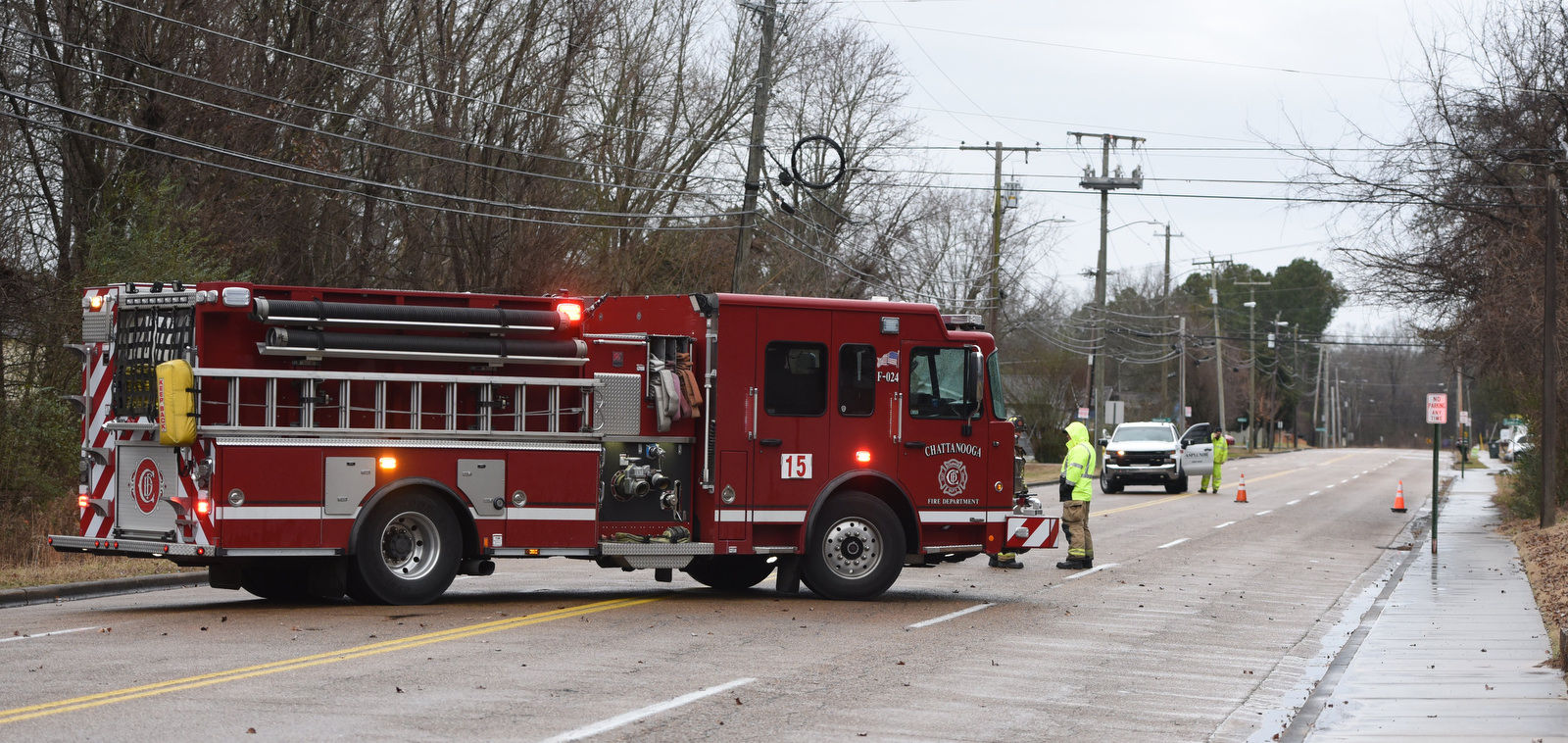 Staff photo by Matt Hamilton/ A Chattanooga Fire Department truck blocks North Moore Road as officials investigate a downed utility line Friday.
Short-lived relief
There will be a warmup, but it won't last, Doyle said.
"Thursday, it'll rebound into the 40s, but then we've got another system coming in Thursday night with some rain, and there could be a little bit of snow," he said. "But it's mostly rain and another cold front that will drop temperatures back down into 30s for a high on Friday. So an extension of the cold snap may go into next weekend."
The below-normal temperatures will linger, he said.
People should check the most recent forecast for changes in the coming days, Doyle said, because predictions are likely to change.
Chattanooga's EPB began preparations for wintry weather with Friday's wind and rain event, and the utility is offering some tips for staying warm and keeping the power bill as low as possible.
(READ MORE: Remember When, Chattanooga? This 1966 snowfall was followed by record cold temperatures)
"In the event of an outage, the EPB Smart Grid will reduce disruptions by isolating damage and rerouting power instantly whenever possible," a utility news release states. "The Smart Grid will also pinpoint any locations where damage occurs so our teams can be on-site as quickly as possible to restore outages."
In cold weather, start the thermostat at 68 degrees and decrease it by 1 degree each day to find the lowest comfortable setting, according to the utility. Keep doors, garages and windows closed as much as possible, set ceiling fans to rotate clockwise, turn off unused appliances, keep window coverings open on the sunny side of the house to capture free heat, keep unused dampers and flues closed, and use electric blankets to stay warm.
Contact Ben Benton at bbenton@timesfreepress.com or 423-757-6569.