Most of the Chattanooga region dodged a snowy bullet Tuesday morning, but an arctic plunge is expected to drop temperatures into the teens by Wednesday morning with little respite until Thursday afternoon. And that has some officials worried about icy roads.
While the cold front brought small accumulations of snow to some areas - particularly to the east, north and at higher elevations - the precipitation "outran the cold," said WRCB-TV Channel 3 chief meteorologist Paul Barys. That kept a significant snowfall at bay for Chattanooga.
In and around the Scenic City, most roads were clear for the morning rush hour Tuesday and traffic was light.
"Most of the snow that did fall of any accumulation was well east of Cleveland ," Barys said. "Then [precipitation] moved into Polk County, Monroe County and eastern McMinn County and then into the Blue Ridge Mountains, where the cold air finally caught up and, boom, there was the snow."
The only reports he heard of accumulations of as much as 2 inches were near Englewood in McMinn County and at Fort Mountain State Park in Murray County, Georgia, he added.
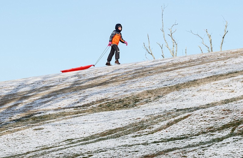
Steve Lofty, director of the Polk County Emergency Management Agency, said the most snow came in the south end of the county and in the Georgia counties just over the state line, with up to 2.5 inches reported.
Parts of McMinn County got an inch or so of snow and some roads on the eastern side of the county were covered, according to a Facebook post by McMinn County Sheriff Joe Guy on Tuesday.
Officials in other counties also reported small accumulations and mostly clear primary roads, although there were some bad secondary roads.
In Georgia, Chattooga County Sheriff Mark Schrader said his jurisdiction only saw snow on Lookout Mountain and none stuck to the roads. Dalton police spokesman Bruce Frazier said the agency had no problems from drivers. And in Gordon County, Chief Deputy Robert Paris reported the same.
"We had no issues out here," Paris said Tuesday. "It rained a little bit, and it snowed for about 15 minutes. But nothing stuck."
And while there were no reports of major snow-related problems, the focus in some areas has now turned to icy roads.
"I think our big concern is as the temperature falls that our back roads are going to ice over," Lofty said of Polk County, Tennessee.
In Georgia, the Dade County public works team was preparing for dangerous roads Wednesday.
Alex Case, the county's director of Emergency Services, said Tuesday the roads department was monitoring the higher elevations on Lookout and Sand mountains.
The National Weather Service is warning of life-threatening cold across much of the eastern two-thirds of the country, likely leading to record lows from the Upper Midwest to the Great Lakes and Ohio Valley through the late week.
Well north of the Chattanooga region, weather service forecasters said dangerously cold wind chill values of -5 to -15 degrees are expected in Southwest Virginia, Northeast Tennessee and the Smoky Mountains through Thursday. There could be more snow in those areas on Wednesday with no accumulation expected.
But a longer-range outlook for Chattanooga and surrounding areas calls for a warming trend beginning Thursday afternoon and continuing into the weekend, Barys said.
"It'll be in the mid-30s Wednesday and the mid-teens Wednesday night, then we rise into the 40s on Thursday and Friday and in the 50s to near 60 Saturday and Sunday," he said.
Monday and Tuesday also will be warm with highs in the 60s, he said.
Staff writer Tyler Jett contributed to this story.
Contact staff writer Ben Benton at bbenton@timesfreepress.com or 423-757-6569. Follow him on Twitter @BenBenton or at www.facebook.com/benbenton1.