Heavy rains in Chattanooga on Sunday flooded some low-lying streets in the area and prompted a flash flood warning Monday for parts of southwest Hamilton County as more rain drenched parts of the region.
The National Weather Service said 2.6 inches of rain deluged Chattanooga on Sunday, eclipsing the previous record high for rainfall of Sept. 19, set in 1943 when 1.77 inches of rain fell on the city. Most of Chattanooga received another half-inch to 1 inch of rain on Monday.
"Local law enforcement reported some roadways were flooded, so we continue to monitor those conditions," said Derek Eisentrout, the meteorologist in charge at the National Weather Service in Morristown, Tennessee. "We're expecting more rain on Wednesday before this front pushes through the region and we see nicer weather by the end of the week."
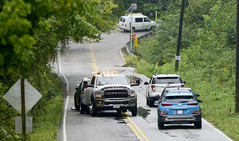
Amy Maxwell, public relations manager for the Hamilton County Office of Emergency Management, said flooding or downed power lines caused shutdowns or traffic diversions on parts of Gunbarrel, Gadd, Standifer Gap and Browntown roads, along with sites on Dodson Avenue, East 20th Street and Tom Drive.
Sunday's rainstorm pushed the precipitation total for Chattanooga so far in September to nearly 4.6 inches, nearly double the normal 2.6 inches of rain for the first 20 days of September. So far this year, rainfall in Chattanooga has totaled 50.5 inches, or nearly 10.8 inches above normal.
Last year, the city's wettest year on record, Chattanooga had 52.7 inches of rain in the same period, "so while it has been very wet this year it was even wetter a year ago," Eisentrout said.
Rainfall was much higher in parts of Middle Tennessee, including near Tullahoma and Shelbyville, where Tennessee Valley Authority rain gauges at Normandy Dam recorded nearly 9 inches of rain over the weekend and parts of both the Duck and Elk rivers rose above flood stage Monday.
"Along the upper Duck River and the upper Elk River at the Tims Ford and Normandy dam we saw more than 7 inches of rain, and that kept us busy monitoring the river flows in that area," said James Everett, senior manager of TVA's river forecast center in Knoxville. "Shelbyville got above flood stage, so we stored as much water as we could at the Normandy Reservoir on the Duck River. We used all the flood storage that we could at Normandy, so the river level on the Duck River is going to be elevated for a while."
With heavy rain in Middle and West Tennessee, TVA is looking to store more water in the upstream reservoirs in East Tennessee to prepare for additional rains Tuesday and Wednesday.
Contact Dave Flessner at dflessner@timesfreepress.com or 423-757-6340.
CHATTANOOGA-AREA ROAD CLOSURES
The following locations have reopened as of 8:45 a.m. Tuesday:
* Davidson Road at Gunbarrel is closed due to flooding. The automatic flood protection gates and lights are down
* 220 Morningside Drive
* Dowlen Road at Grubb Road
* North Crest Road at Ocoee Street
* Northmont Road at Sandswitch Road
The following locations have reopened as of 7:30 p.m. Monday:
* Brainerd Road at Seminole Drive
* 4200 Byrnwood Village
* 500 Dodds Ave
* North Concord at Igou Gap